Old Cumbria Gazetteer
 |
 |
|
||
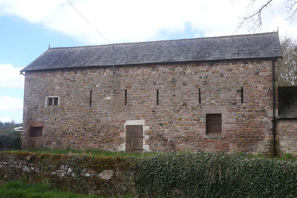
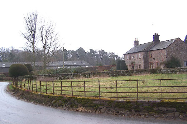
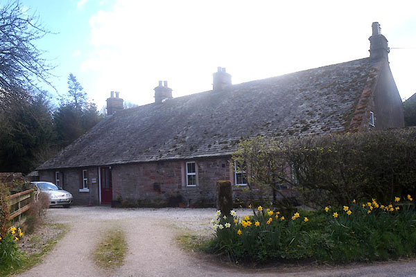
| Unthank End, Skelton | ||||
| Unthank End | ||||
| locality:- | Unthank | |||
| civil parish:- | Skelton (formerly Cumberland) | |||
| county:- | Cumbria | |||
| locality type:- | locality | |||
| locality type:- | buildings | |||
| coordinates:- | NY45843549 (etc) | |||
| 1Km square:- | NY4535 | |||
| 10Km square:- | NY43 | |||
|
|
||||
| evidence:- | old map:- Bowen and Kitchin 1760 placename:- Unthanke |
|||
| source data:- | Map, hand coloured engraving, A New Map of the Counties of
Cumberland and Westmoreland Divided into their Respective Wards,
scale about 4 miles to 1 inch, by Emanuel Bowen and Thomas
Kitchin et al, published by T Bowles, Robert Sayer, and John
Bowles, London, 1760.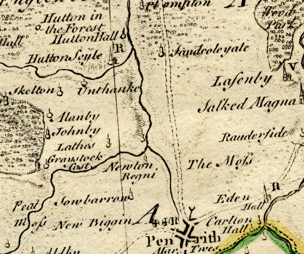 BO18NY43.jpg "Unthanke" circle and line item:- Armitt Library : 2008.14.10 Image © see bottom of page |
|||
|
|
||||
| places:- |
|
|||
|
||||
|
||||
|
||||
 Lakes Guides menu.