 Old Cumbria Gazetteer
 |
 |
|
| Whatshaw Common, Shap Rural | ||
| Whatshaw Common | ||
| civil parish:- | Shap Rural (formerly Westmorland) | |
| county:- | Cumbria | |
| locality type:- | common | |
| coordinates:- | NY54210582 (etc) | |
| 1Km square:- | NY5405 | |
| 10Km square:- | NY50 | |
|
|
||
| evidence:- | old map:- Ogilby 1675 (plate 38) |
|
| source data:- | Road strip map, hand coloured engraving, continuation of the
Road from London to Carlisle, scale about 1 inch to 1 mile, by
John Ogilby, London, 1675.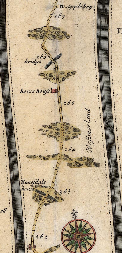 OG38m262.jpg In mile 266, Westmorland. Road ascends through hilly area. item:- JandMN : 21 Image © see bottom of page |
|
|
|
||
 Lakes Guides menu.