 Old Cumbria Gazetteer
 |
 |
|
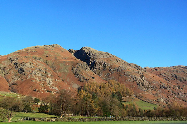
| Whitegill Crag, Great Langdale | ||
| Whitegill Crag | ||
| locality:- | Great Langdale | |
| civil parish:- | Lakes (formerly Westmorland) | |
| county:- | Cumbria | |
| locality type:- | rocks | |
| coordinates:- | NY29810710 (etc) | |
| 1Km square:- | NY2907 | |
| 10Km square:- | NY20 | |
|
|
||
 BJZ98.jpg (taken 2005) 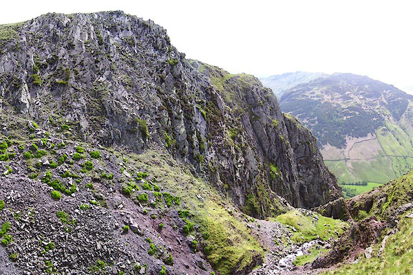 BNR30.jpg (taken 22.5.2007) |
||
|
|
||
| evidence:- | old map:- OS County Series (Wmd 25 3) placename:- Whitegill Crag |
|
| source data:- | Maps, County Series maps of Great Britain, scales 6 and 25
inches to 1 mile, published by the Ordnance Survey, Southampton,
Hampshire, from about 1863 to 1948. |
|
|
|
||
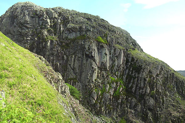 BNR37.jpg (taken 22.5.2007) |
||
|
|
||
 Lakes Guides menu.