 Old Cumbria Gazetteer
 |
 |
|
| Whyfold, St John's Castlerigg etc | ||
| Whyfold | ||
| locality:- | Wythburn | |
| civil parish:- | St John's Castlerigg and Wythburn (formerly Cumberland) | |
| county:- | Cumbria | |
| locality type:- | buildings | |
| 1Km square:- | NY3212 (?) | |
| 10Km square:- | NY31 | |
| SummaryText:- | No other evidence found for this place. | |
| references:- | Clarke 1787 map |
|
|
|
||
| evidence:- | old map:- Clarke 1787 map (Ambleside to Keswick) placename:- Whyfold |
|
| source data:- | Map, A Map of the Roads Lakes etc between Keswick and Ambleside,
scale about 2.5 ins to 1 mile, by James Clarke, engraved by S J
Neele, 352 Strand, published by James Clarke, Penrith,
Cumberland and in London etc, 1787.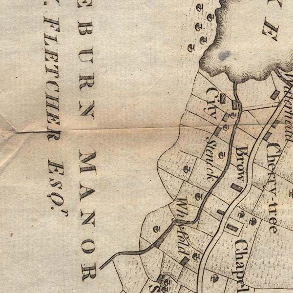 CL9NY31B.jpg "Whyfold" item:- private collection : 10.9 Image © see bottom of page |
|
|
|
||
 Lakes Guides menu.