 Old Cumbria Gazetteer
 |
 |
|
| Wilson Place, Little Langdale | ||
| Wilson Place | ||
| locality:- | Little Langdale | |
| locality:- | Langdale | |
| civil parish:- | Lakes (formerly Westmorland) | |
| county:- | Cumbria | |
| locality type:- | buildings | |
| coordinates:- | NY31810341 | |
| 1Km square:- | NY3103 | |
| 10Km square:- | NY30 | |
|
|
||
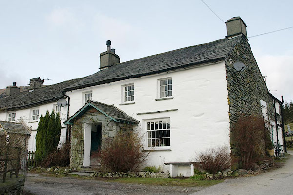 BSB07.jpg (taken 1.2.2010) 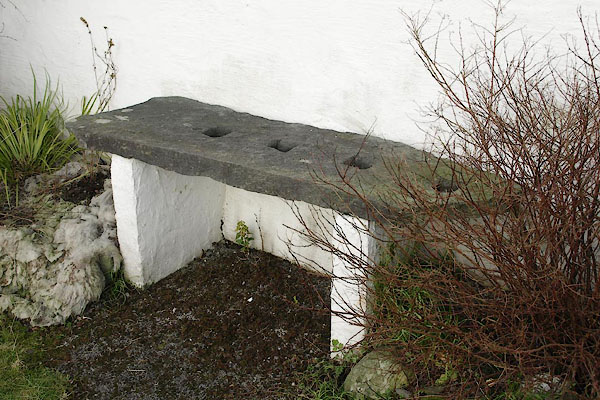 BSB09.jpg Seat, a reused gate stoup. (taken 1.2.2010) |
||
|
|
||
| evidence:- | old map:- OS County Series (Wmd 25 12) placename:- Wilson's Place |
|
| source data:- | Maps, County Series maps of Great Britain, scales 6 and 25
inches to 1 mile, published by the Ordnance Survey, Southampton,
Hampshire, from about 1863 to 1948. |
|
|
|
||
| evidence:- | possibly old map:- Jefferys 1770 (Wmd) placename:- Field Side |
|
| source data:- | Map, 4 sheets, The County of Westmoreland, scale 1 inch to 1
mile, surveyed 1768, and engraved and published by Thomas
Jefferys, London, 1770.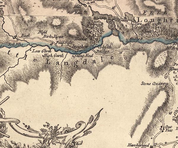 J5NY30SW.jpg "Field Side" circle, labelled in italic lowercase text; settlement, farm, house, or hamlet? item:- National Library of Scotland : EME.s.47 Image © National Library of Scotland |
|
|
|
||
| evidence:- | database:- Listed Buildings 2010 placename:- Wilsons Place |
|
| source data:- | courtesy of English Heritage "WILSONS PLACE / / / LAKES / SOUTH LAKELAND / CUMBRIA / II / 452296 / NY3181303418" |
|
|
|
||
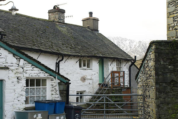 BSB08.jpg (taken 1.2.2010) 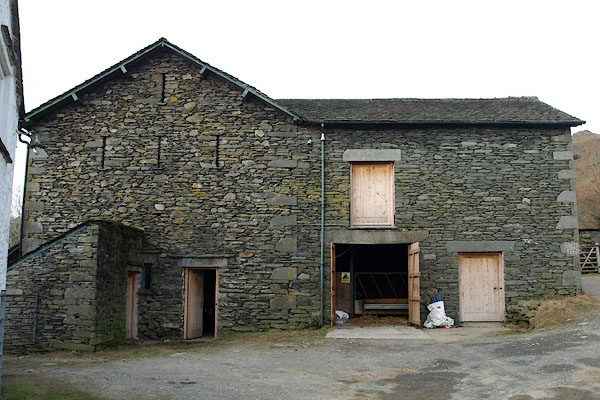 BSB10.jpg Barn. (taken 1.2.2010) 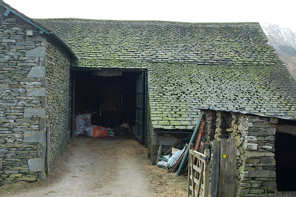 BSB11.jpg Barn, upper entrance. (taken 1.2.2010) 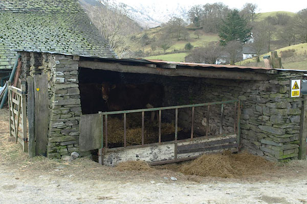 BSB12.jpg Byre. (taken 1.2.2010) 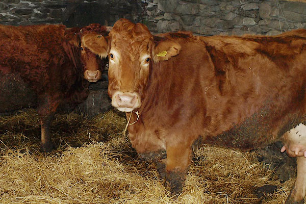 BSB13.jpg Cattle in the byre. (taken 1.2.2010) |
||
|
|
||
 Lakes Guides menu.