 Old Cumbria Gazetteer
 |
 |
|
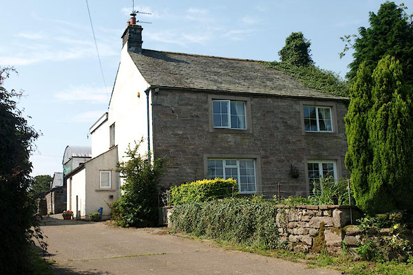
| Wood Close, Skelton | ||
| Wood Close | ||
| Wood Close Farm | ||
| civil parish:- | Skelton (formerly Cumberland) | |
| county:- | Cumbria | |
| locality type:- | buildings | |
| coordinates:- | NY41183749 | |
| 1Km square:- | NY4137 | |
| 10Km square:- | NY43 | |
|
|
||
 BPN03.jpg (taken 26.7.2008) 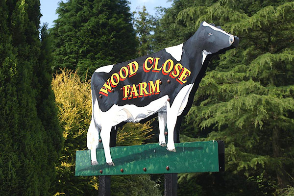 BPN04.jpg Farm sign by the road. Almost brand new, this sign is a replacement for one demolished by a boy racer overtaking on a dangerous bit of road. (taken 26.7.2008) |
||
|
|
||
| evidence:- | old map:- OS County Series (Cmd 48 4) placename:- Woodclose |
|
| source data:- | Maps, County Series maps of Great Britain, scales 6 and 25
inches to 1 mile, published by the Ordnance Survey, Southampton,
Hampshire, from about 1863 to 1948. |
|
|
|
||
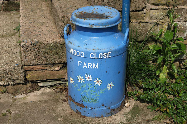 BPN05.jpg Od farm sign in the farmyard. (taken 26.7.2008) |
||
|
|
||
 Lakes Guides menu.