 Old Cumbria Gazetteer
 |
 |
|
| Wythop Mill, Wythop Mill | ||
| Wythop Mill | ||
| site name:- | Wythop Beck | |
| locality:- | Wythop Mill | |
| civil parish:- | Embleton (formerly Cumberland) | |
| county:- | Cumbria | |
| locality type:- | buildings | |
| locality type:- | mill | |
| locality type:- | museum (once) | |
| locality type:- | locality | |
| locality type:- | saw mill | |
| coordinates:- | NY17832957 | |
| 1Km square:- | NY1729 | |
| 10Km square:- | NY12 | |
|
|
||
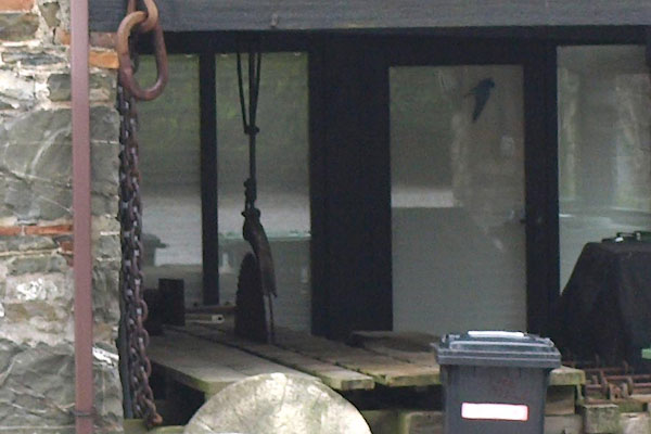
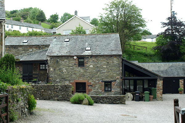 BWT17.jpg (taken 13.6.2012) 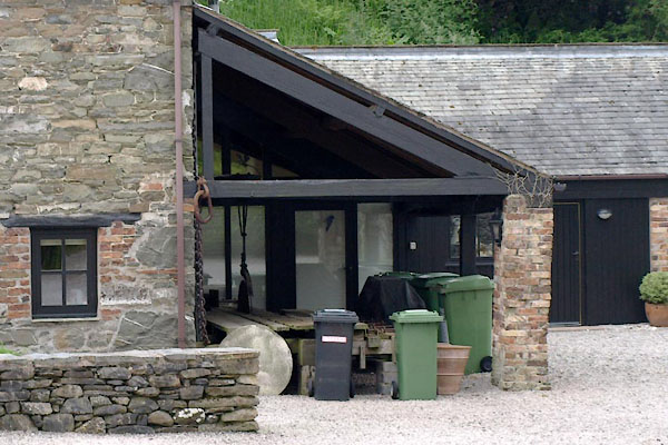 BWT18.jpg (taken 13.6.2012) |
||
|
|
||
| evidence:- | old map:- OS County Series (Cmd 55 6) |
|
| source data:- | Maps, County Series maps of Great Britain, scales 6 and 25
inches to 1 mile, published by the Ordnance Survey, Southampton,
Hampshire, from about 1863 to 1948. "Steam Saw Mill" |
|
|
|
||
| evidence:- | old map:- Donald 1774 (Cmd) placename:- Withop Mill |
|
| source data:- | Map, hand coloured engraving, 3x2 sheets, The County of Cumberland, scale about 1
inch to 1 mile, by Thomas Donald, engraved and published by Joseph Hodskinson, 29
Arundel Street, Strand, London, 1774.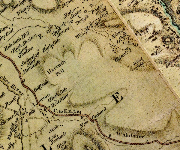 D4NY12NE.jpg "Withop Mill" circle with rays, mill wheel; a water mill item:- Carlisle Library : Map 2 Image © Carlisle Library |
|
|
|
||
| evidence:- | database:- Listed Buildings 2010 |
|
| source data:- | courtesy of English Heritage "WYTHOP MILL COTTAGES NUMBER 2, ADJOINING COTTAGE AND FORMER MILL / / / EMBLETON / ALLERDALE / CUMBRIA / II / 72666 / NY1786429492" |
|
|
|
||
 BWT19.jpg (taken 13.6.2012) 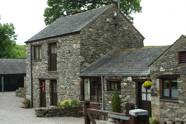 BWT20.jpg (taken 13.6.2012) 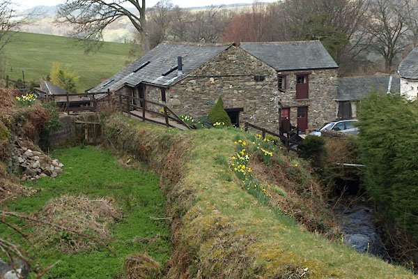 BUG94.jpg (taken 28.3.2011) |
||
|
|
||
| hearsay:- |
A celtic sword, the Embleton Sword, was found in a field by the mill, early 19th century,
possibly the site of a battle. It is dated to about 50BC, was in the Crosthwaite's
Museum in Keswick, but has been taken off to the British Museum. |
|
|
|
||
 Lakes Guides menu.