 Old Cumbria Gazetteer
 |
 |
|
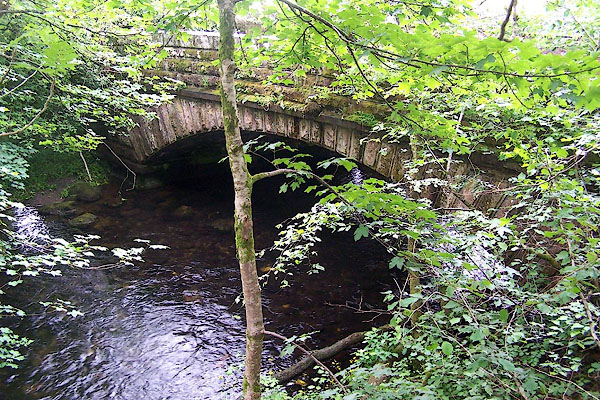
| Colwith Bridge, Lakes | ||
| Colwith Bridge | ||
| site name:- | Brathay, River | |
| locality:- | Colwith | |
| civil parish:- | Lakes (formerly Westmorland) | |
| county:- | Cumbria | |
| locality type:- | bridge | |
| coordinates:- | NY33020302 | |
| 1Km square:- | NY3303 | |
| 10Km square:- | NY30 | |
|
|
||
 BMG89.jpg (taken 23.6.2006) 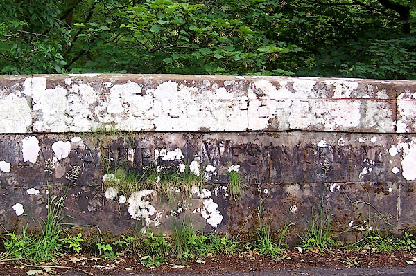 BMG90.jpg Inscribed stone:- "[ C] COLWITH BRIDGE / LANCASHIRE WESTMORLAND" and a bench mark. (taken 23.6.2006) |
||
|
|
||
| evidence:- | old map:- OS County Series (Wmd 25 12) placename:- Colwith Bridge |
|
| source data:- | Maps, County Series maps of Great Britain, scales 6 and 25
inches to 1 mile, published by the Ordnance Survey, Southampton,
Hampshire, from about 1863 to 1948. |
|
|
|
||
| evidence:- | old map:- OS County Series (Lan 2 5) placename:- Colwith Bridge |
|
| source data:- | Maps, County Series maps of Great Britain, scales 6 and 25
inches to 1 mile, published by the Ordnance Survey, Southampton,
Hampshire, from about 1863 to 1948. |
|
|
|
||
| evidence:- | old map:- Jefferys 1770 (Wmd) placename:- Colwith Bridge |
|
| source data:- | Map, 4 sheets, The County of Westmoreland, scale 1 inch to 1
mile, surveyed 1768, and engraved and published by Thomas
Jefferys, London, 1770.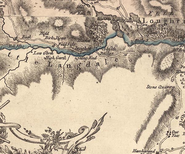 J5NY30SW.jpg "Colwith Bridge" circle, labelled in italic lowercase text; settlement, farm, house, or hamlet? item:- National Library of Scotland : EME.s.47 Image © National Library of Scotland |
|
|
|
||
| evidence:- | old map:- Cary 1789 (edn 1805) placename:- Colwith Bridge |
|
| source data:- | Map, uncoloured engraving, Westmoreland, scale about 2.5 miles
to 1 inch, by John Cary, London, 1789; edition 1805.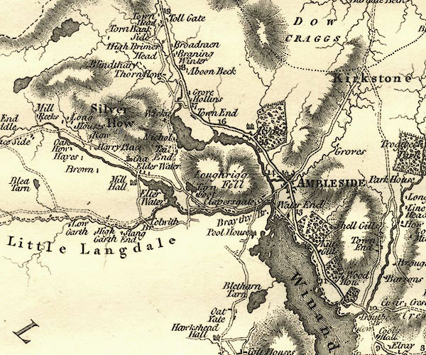 CY24NY30.jpg "Colwith Br" road across a stream; bridge over the Little Langdale Beck item:- JandMN : 129 Image © see bottom of page |
|
|
|
||
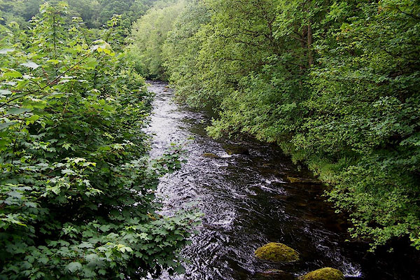 BMG91.jpg View of river. (taken 23.6.2006) |
||
|
|
||
 Lakes Guides menu.