 Old Cumbria Gazetteer
 |
 |
|
| Fellfoot Drove Folds, Casterton | ||
| Fellfoot Drove Folds | ||
| site name:- | Fellfoot Road | |
| civil parish:- | Casterton (formerly Westmorland) | |
| county:- | Cumbria | |
| locality type:- | sheepfold | |
| coordinates:- | SD635811 (to) | |
| coordinates:- | SD636785 | |
| 1Km square:- | SD6381 | |
| 10Km square:- | SD68 | |
|
|
||
 BNB11.jpg (taken 1.12.2006) 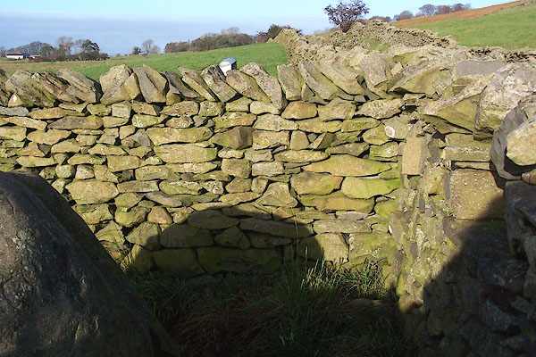 BNB12.jpg (taken 1.12.2006) |
||
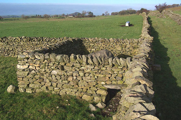
| Sheepfolds from south to north. |
||
|
|
||
| :- |
Renewed by Andy Goldsworthy as part of the Sheepfolds project, 1996-2002. |
|
| 16 small sheepfolds along the drove road, each contains a large boulder, which is
called a Drove Stone. |
||
| : 2002 (?): Andy Goldsworthy Sheepfolds: Cumbria CC (?):: leaflet from TIC www.sheepfolds.org |
||
|
|
||
 Lakes Guides menu.