 Old Cumbria Gazetteer
 |
 |
|
| Lambrigg Fold, New Hutton | ||
| Lambrigg Fold | ||
| civil parish:- | New Hutton (formerly Westmorland) | |
| county:- | Cumbria | |
| locality type:- | sheepfold | |
| coordinates:- | SD59879324 | |
| coordinates:- | SD59849320 | |
| 1Km square:- | SD5993 | |
| 10Km square:- | SD59 | |
|
|
||
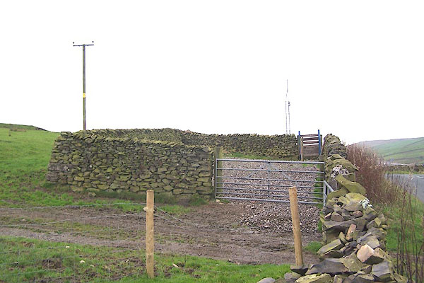 BMY61.jpg (taken 10.11.2006) 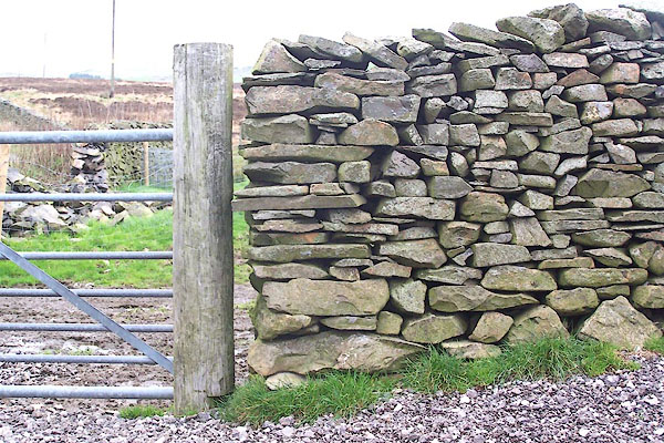 BMY62.jpg Stone wall. (taken 10.11.2006) |
||
| There are two folds here, one either side of the road, which is the project sheepfold,
or both? |
||
|
|
||
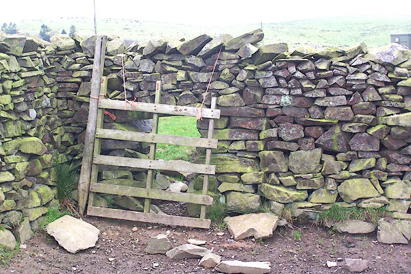 BMY63.jpg Stone wall and hog hole. (taken 10.11.2006) |
||
|
|
||
| :- |
Renewed by Andy Goldsworthy as part of the Sheepfolds project, 1996-2002. |
|
| Where The Arch rested on its journey south. |
||
| : 2002 (?): Andy Goldsworthy Sheepfolds: Cumbria CC (?):: leaflet from TIC www.sheepfolds.org |
||
|
|
||
 Lakes Guides menu.