 Old Cumbria Gazetteer
 |
 |
|
| Wyndhammere Fold, Wyndhammere | ||
| Wyndhammere Fold | ||
| locality:- | Wyndhammere | |
| civil parish:- | Mansergh (formerly Westmorland) | |
| county:- | Cumbria | |
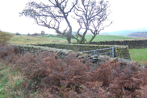
| locality type:- | sheepfold | |
| coordinates:- | SD59858480 | |
| 1Km square:- | SD5984 | |
| 10Km square:- | SD58 | |
|
|
||
 BMY70.jpg (taken 10.11.2006) 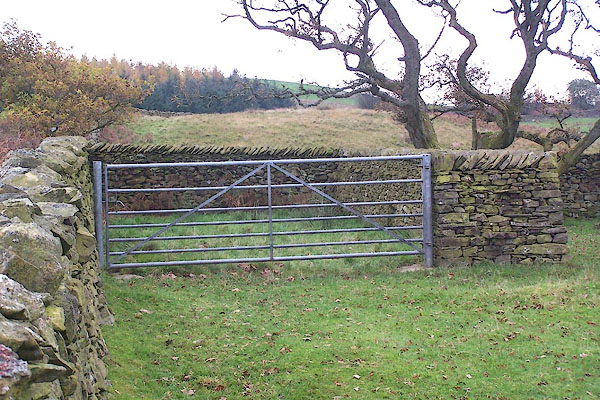 BMY71.jpg (taken 10.11.2006) |
||
|
|
||
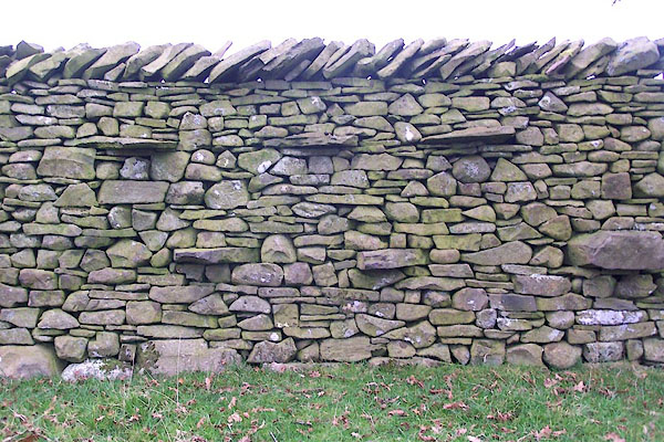 BMY72.jpg Stone wall. (taken 10.11.2006) |
||
|
|
||
| :- |
Renewed by Andy Goldsworthy as part of the Sheepfolds project, 1996-2002. |
|
| Where The Arch rested on its journey south. |
||
| : 2002 (?): Andy Goldsworthy Sheepfolds: Cumbria CC (?):: leaflet from TIC www.sheepfolds.org |
||
|
|
||
 Lakes Guides menu.