 Old Cumbria Gazetteer
 |
 |
|
| Black Hill, Brampton | ||
| locality:- | Milton | |
| civil parish:- | Brampton (formerly Cumberland) | |
| county:- | Cumbria | |
| locality type:- | hill | |
| coordinates:- | NY558605 | |
| 1Km square:- | NY5560 | |
| 10Km square:- | NY56 | |
|
|
||
| evidence:- | probably old map:- Ogilby 1675 (plate 86) |
|
| source data:- | Road strip map, uncoloured engraving, the Road from Tinmouth ...
to Carlisle, scale about 1 inch to 1 mile, by John Ogilby,
London, 1675.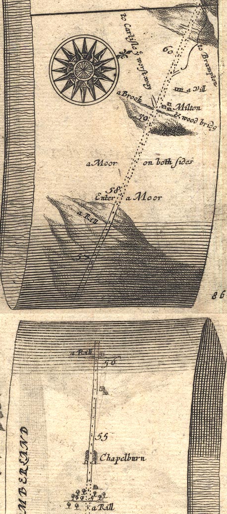 OG86m055.jpg In mile 58, Cumberland. Road descends a hill. item:- JandMN : 73 Image © see bottom of page |
|
|
|
||
 Lakes Guides menu.