 Old Cumbria Gazetteer
 |
 |
|
| Blacklyne Bridge, Stapleton | ||
| Blacklyne Bridge | ||
| Black Lyne Bridge | ||
| site name:- | Black Lyne | |
| civil parish:- | Stapleton (formerly Cumberland) | |
| civil parish:- | Solport (formerly Cumberland) | |
| county:- | Cumbria | |
| locality type:- | bridge | |
| coordinates:- | NY49627335 | |
| 1Km square:- | NY4973 | |
| 10Km square:- | NY47 | |
|
|
||
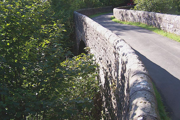 BMQ63.jpg (taken 15.9.2006) 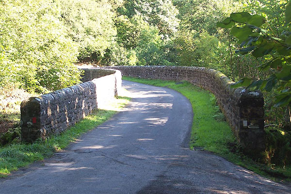 BMQ67.jpg (taken 15.9.2006) |
||
|
|
||
| evidence:- | possibly old map:- Bell 1892 placename:- Breakings Black Lyne Bridge |
|
| source data:- | Map, colour lithograph, Road Map of Cumberland, by George Joseph
Bell, scale about 2.5 miles to 1 inch, printed by Charles
Thurnam and Sons, Carlisle, Cumberland, 1892.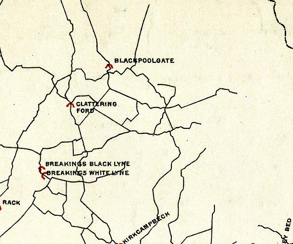 BEL9NY57.jpg "BREAKINGS BLACK LYNE" bridge symbol Road map of Cumberland showing County Bridges item:- Carlisle Library : Map 38 Image © Carlisle Library |
|
|
|
||
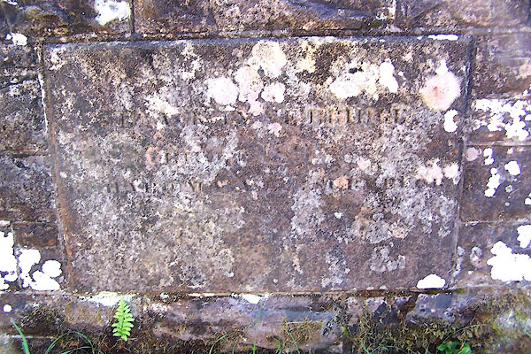 BMQ64.jpg Inscription on south parapet:- "[BLACK LYNE BRIDGE BUILT 1891 ]" (taken 15.9.2006) 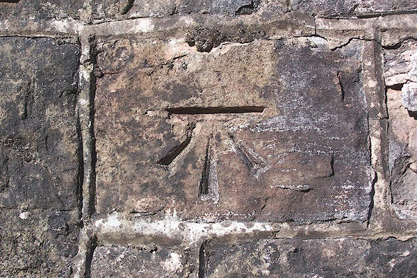 BMQ66.jpg Bench mark. (taken 15.9.2006) |
||
|
|
||
 Lakes Guides menu.