 Old Cumbria Gazetteer
 |
 |
|
| bridge, Beckermet | ||
| site name:- | Black Beck (11) | |
| locality:- | Beckermet | |
| civil parish:- | St John Beckermet (formerly Cumberland) | |
| county:- | Cumbria | |
| locality type:- | bridge | |
| coordinates:- | NY01920667 | |
| 1Km square:- | NY0106 | |
| 10Km square:- | NY00 | |
|
|
||
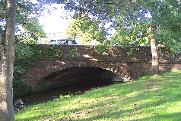 BMW06.jpg (taken 13.10.2006) |
||
|
|
||
| evidence:- | probably old map:- Bowen and Kitchin 1760 |
|
| source data:- | Map, hand coloured engraving, A New Map of the Counties of
Cumberland and Westmoreland Divided into their Respective Wards,
scale about 4 miles to 1 inch, by Emanuel Bowen and Thomas
Kitchin et al, published by T Bowles, Robert Sayer, and John
Bowles, London, 1760.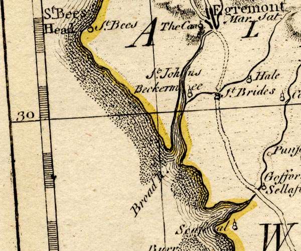 BO18NX90.jpg road across the Kirk Beck item:- Armitt Library : 2008.14.10 Image © see bottom of page |
|
|
|
||
| evidence:- | old map:- Donald 1774 (Cmd) |
|
| source data:- | Map, hand coloured engraving, 3x2 sheets, The County of Cumberland, scale about 1
inch to 1 mile, by Thomas Donald, engraved and published by Joseph Hodskinson, 29
Arundel Street, Strand, London, 1774.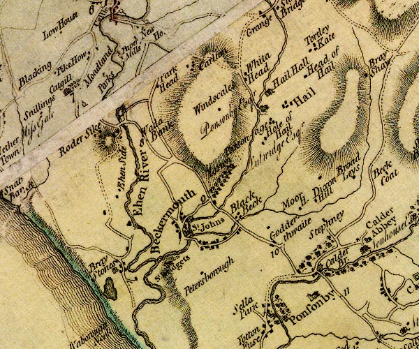 D4NY00NW.jpg double line across a river; a bridge at Beckermet item:- Carlisle Library : Map 2 Image © Carlisle Library |
|
|
|
||
| evidence:- | old map:- Bell 1892 placename:- Beckermet Bridge |
|
| source data:- | Map, colour lithograph, Road Map of Cumberland, by George Joseph
Bell, scale about 2.5 miles to 1 inch, printed by Charles
Thurnam and Sons, Carlisle, Cumberland, 1892.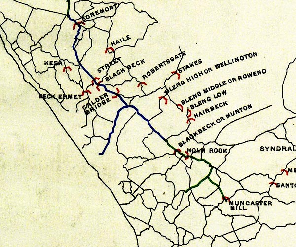 BEL9NY00.jpg "BECK ERMET" bridge symbol Road map of Cumberland showing County Bridges item:- Carlisle Library : Map 38 Image © Carlisle Library |
|
|
|
||
| evidence:- | old print:- Linton 1852 |
|
| source data:- | Print, engraving, Beckermont from the School Green, St John Beckermet, Cumberland,
drawn by R Shepherd, engraved by W H Lizars, Edinburgh, published by Whittaker and
Co, London, and by R Gibson and Son and by Callander and Dixon, Whitehaven, Cumberland,
1852.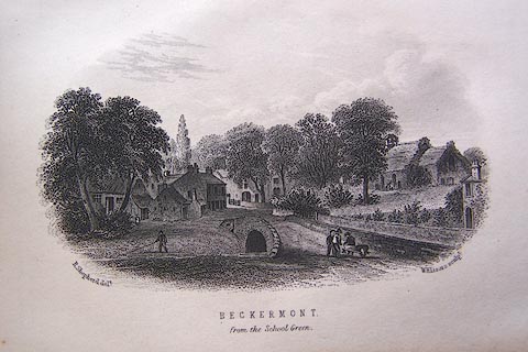 click to enlarge click to enlargeLN1E06.jpg Tipped in opposite p.40 of A Handbook of the Whitehaven and Furness Railway, by John Linton. printed at bottom left, right, centre:- "R. Shepherd delt. / W. H. Lizars sculpt. / BECKERMONT. / from the School Green." item:- Armitt Library : A1158.6 Image © see bottom of page |
|
|
|
||
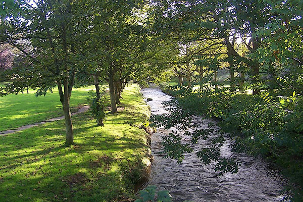 BMW07.jpg View of river. From the bridge at Beckermet. (taken 13.10.2006) |
||
|
|
||
 Lakes Guides menu.