 Old Cumbria Gazetteer
 |
 |
|
| Brownside Chapel, Alston Moor | ||
| Brownside Chapel | ||
| Ebenezer Chapel | ||
| locality:- | Brownside | |
| civil parish:- | Alston Moor (formerly Cumberland) | |
| county:- | Cumbria | |
| locality type:- | buildings | |
| locality type:- | chapel (ex) | |
| locality type:- | methodist chapel (ex) | |
| coordinates:- | NY70994419 | |
| 1Km square:- | NY7044 | |
| 10Km square:- | NY74 | |
|
|
||
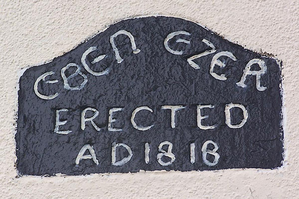 BML40.jpg Inscribed ?slate:- "EBEN EZER ERECTED AD 1818" (taken 29.7.2006) |
||
|
|
||
| evidence:- | old map:- OS County Series (Cmd 33 16) |
|
| source data:- | Maps, County Series maps of Great Britain, scales 6 and 25
inches to 1 mile, published by the Ordnance Survey, Southampton,
Hampshire, from about 1863 to 1948. "Methodist Chapel (Wesleyan)" |
|
|
|
||
 Lakes Guides menu.