 Old Cumbria Gazetteer
 |
 |
|
| level crossing, Brampton | ||
| Bramptonfell Gates | ||
| site name:- | Newcastle and Carlisle Railway | |
| civil parish:- | Brampton (formerly Cumberland) | |
| county:- | Cumbria | |
| locality type:- | level crossing | |
| locality type:- | signal box | |
| coordinates:- | NY53955912 | |
| 1Km square:- | NY5359 | |
| 10Km square:- | NY55 | |
|
|
||
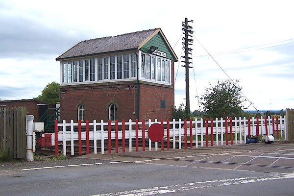 BMM64.jpg (taken 11.8.2006) 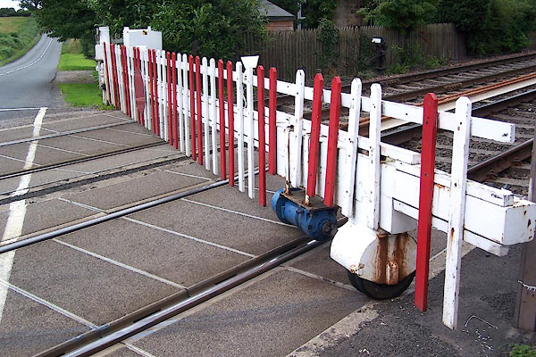 BMM65.jpg (taken 11.8.2006) |
||
|
|
||
| evidence:- | old map:- OS County Series (Cmd 18 9) placename:- Bramptonfell Gates |
|
| source data:- | Maps, County Series maps of Great Britain, scales 6 and 25
inches to 1 mile, published by the Ordnance Survey, Southampton,
Hampshire, from about 1863 to 1948. |
|
|
|
||
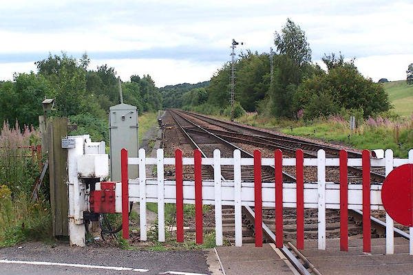 BMM66.jpg View W towards Carlisle. (taken 11.8.2006) 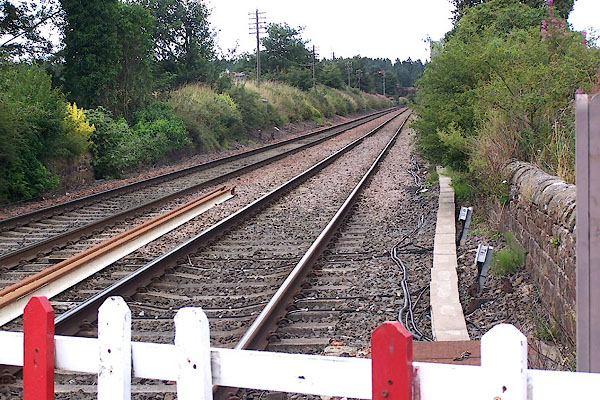 BMM67.jpg View E towards Newcastle. (taken 11.8.2006) |
||
|
|
||
 Lakes Guides menu.