 Old Cumbria Gazetteer
 |
 |
|
| Torpenhow Hall, Torpenhow | ||
| Torpenhow Hall | ||
| locality:- | Torpenhow | |
| civil parish:- | Blennerhasset and Torpenhow (formerly Cumberland) | |
| county:- | Cumbria | |
| locality type:- | buildings | |
| coordinates:- | NY20633976 | |
| 1Km square:- | NY2039 | |
| 10Km square:- | NY23 | |
|
|
||
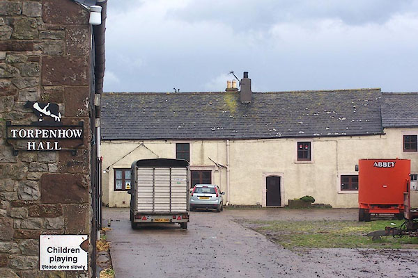 BMS33.jpg (taken 29.9.2006) 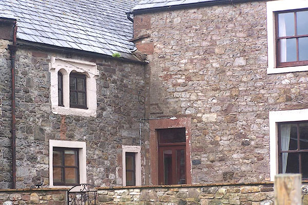 BMS34.jpg (taken 29.9.2006) |
||
|
|
||
| evidence:- | old map:- OS County Series (Cmd 36 15) placename:- Hall |
|
| source data:- | Maps, County Series maps of Great Britain, scales 6 and 25
inches to 1 mile, published by the Ordnance Survey, Southampton,
Hampshire, from about 1863 to 1948. |
|
|
|
||
| evidence:- | database:- Listed Buildings 2010 placename:- Torpenhow Hall |
|
| source data:- | courtesy of English Heritage "TORPENHOW HALL / / / BLENNERHASSET AND TORPENHOW / ALLERDALE / CUMBRIA / II / 72323 / NY2063239763" |
|
|
|
||
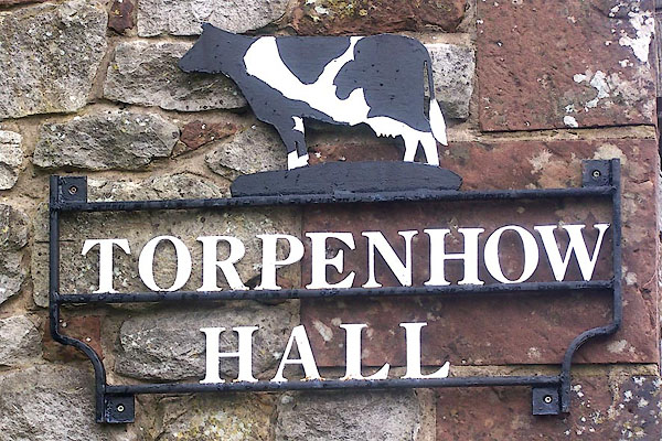 BMS35.jpg House name sign:- "TORPENHOW HALL" (taken 29.9.2006) |
||
|
|
||
 Lakes Guides menu.