 Old Cumbria Gazetteer
 |
 |
|
| bench mark, SD64718259 | ||
| civil parish:- | Barbon (formerly Westmorland) | |
| county:- | Cumbria | |
| locality type:- | bench mark (rivet) | |
| coordinates:- | SD64718259 | |
| 1Km square:- | SD6482 | |
| 10Km square:- | SD68 | |
|
|
||
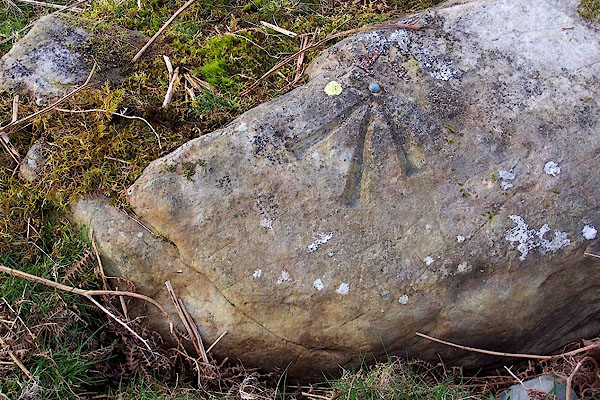 BNH49.jpg On a boulder 'in the middle of nowhere', by the Barbondale Road. (taken 2.3.2007) |
||
|
|
||
 Lakes Guides menu.