 Old Cumbria Gazetteer
 |
 |
|
| High Bank House, Barbon | ||
| High Bank House | ||
| locality:- | Banneriggs Brow | |
| civil parish:- | Barbon (formerly Westmorland) | |
| county:- | Cumbria | |
| locality type:- | buildings | |
| coordinates:- | SD63478221 | |
| 1Km square:- | SD6382 | |
| 10Km square:- | SD68 | |
|
|
||
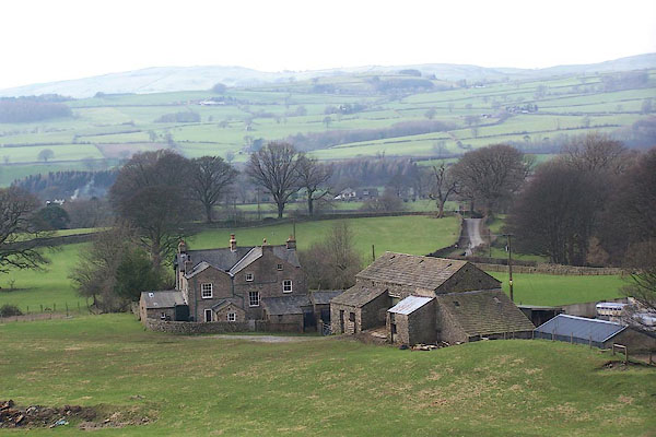 BNH36.jpg (taken 2.3.2007) 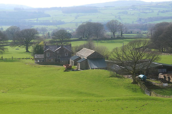 CFY24.jpg (taken 24.3.2017) |
||
|
|
||
| evidence:- | old map:- OS County Series (Wmd 44 13) placename:- Bank House |
|
| source data:- | Maps, County Series maps of Great Britain, scales 6 and 25
inches to 1 mile, published by the Ordnance Survey, Southampton,
Hampshire, from about 1863 to 1948. |
|
|
|
||
| evidence:- | database:- Listed Buildings 2010 placename:- High Bank House |
|
| source data:- | courtesy of English Heritage "HIGH BANK HOUSE / / BANNERIGGS BROW / BARBON / SOUTH LAKELAND / CUMBRIA / II / 75591 / SD6346882206" |
|
|
|
||
 Lakes Guides menu.