 Old Cumbria Gazetteer
 |
 |
|
| Kitchenhill Bridge, Penrith | ||
| Kitchenhill Bridge | ||
| site name:- | Petteril, River | |
| locality:- | Kitchen Hill | |
| civil parish:- | Penrith (formerly Cumberland) | |
| county:- | Cumbria | |
| locality type:- | bridge | |
| coordinates:- | NY49763412 | |
| 1Km square:- | NY4934 | |
| 10Km square:- | NY43 | |
|
|
||
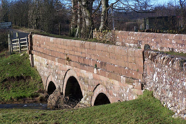 BND46.jpg (taken 3.2.2007) |
||
|
|
||
| evidence:- | old map:- Bell 1892 placename:- Plumpton High Bridge |
|
| source data:- | Map, colour lithograph, Road Map of Cumberland, by George Joseph
Bell, scale about 2.5 miles to 1 inch, printed by Charles
Thurnam and Sons, Carlisle, Cumberland, 1892.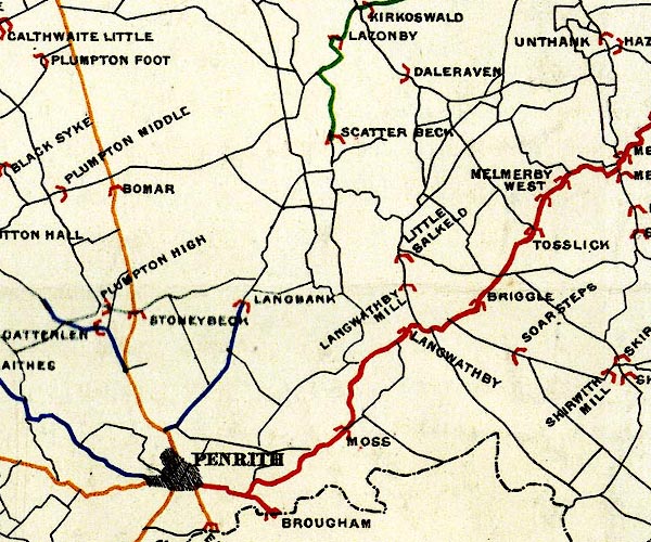 BEL9NY53.jpg "PLUMPTON HIGH" bridge symbol Road map of Cumberland showing County Bridges item:- Carlisle Library : Map 38 Image © Carlisle Library |
|
|
|
||
| evidence:- | database:- Listed Buildings 2010 placename:- Kitchenhill Bridge |
|
| source data:- | courtesy of English Heritage "KITCHENHILL BRIDGE / / KITCHENHILL / PENRITH / EDEN / CUMBRIA / II / 72890 / NY4976734125" |
|
| source data:- | courtesy of English Heritage "Probably C19, red sandstone. Three segmental arches, plain stringcourse and solid weathered parapet." |
|
|
|
||
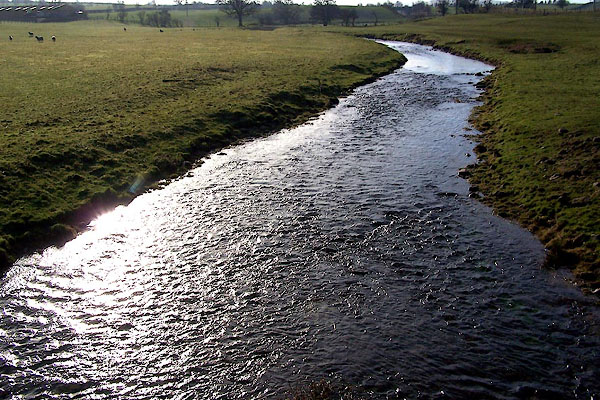 BND47.jpg View of river. From Kitchenhill Bridge. (taken 3.2.2007) 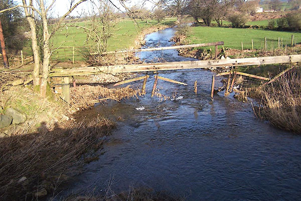 BND48.jpg View of river. From Kitchenhill Bridge. (taken 3.2.2007) |
||
|
|
||
 Lakes Guides menu.