 |
 |
|
|
|
| runs into:- |
 Helm Beck (?) Helm Beck (?) |
|
|
|
|
| locality:- |
Water Houses |
| civil parish:- |
Asby (formerly Westmorland) |
| civil parish:- |
Ormside (formerly Westmorland) |
| civil parish:- |
Crosby Garrett (formerly Westmorland) |
| civil parish:- |
Warcop (formerly Westmorland) |
| civil parish:- |
Soulby (formerly Westmorland) |
| county:- |
Cumbria |
| locality type:- |
river |
| locality type:- |
boundary |
| locality type:- |
parish boundary |
| 1Km square:- |
NY7110 (etc) |
| 10Km square:- |
NY71 |
|
|
|
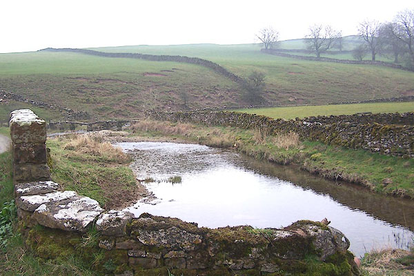
BNL78.jpg At the bridge at Water Houses.
(taken 30.3.2007)
|
|
|
| evidence:- |
old map:- OS County Series (Wmd 22 4)
placename:- Waterhouses Beck
|
| source data:- |
Maps, County Series maps of Great Britain, scales 6 and 25
inches to 1 mile, published by the Ordnance Survey, Southampton,
Hampshire, from about 1863 to 1948.
|
|
|
| places:- |
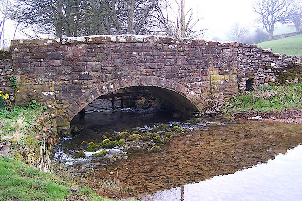 |
NY71271090 bridge, Waterhouses L |
|
|
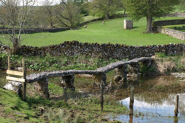 |
NY71301088 footbridge, Waterhouses (Soulby) |
|
|
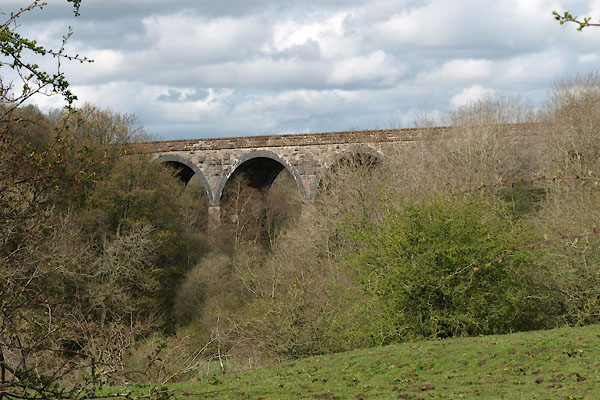 |
NY71511255 Griseburn Viaduct (Crosby Garrett) |
|
