 Old Cumbria Gazetteer
 |
 |
|
| Greenburn Reservoir, Lakes | ||
| runs into:- |  Greenburn Beck Greenburn Beck |
|
|
|
||
| Greenburn Reservoir | ||
| Greenburn Beck Tarn | ||
| site name:- | Greenburn Beck | |
| locality:- | Greenburn | |
| locality:- | Tilberthwaite Fells | |
| civil parish:- | Lakes (formerly Westmorland) | |
| county:- | Cumbria | |
| locality type:- | reservoir | |
| locality type:- | tarn | |
| coordinates:- | NY28490212 | |
| 1Km square:- | NY2802 | |
| 10Km square:- | NY20 | |
| altitude:- | 968 feet | |
| altitude:- | 295m | |
|
|
||
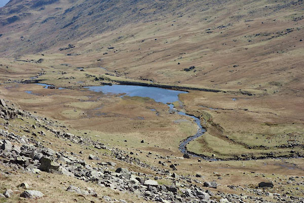 CCX93.jpg (taken 22.4.2015) 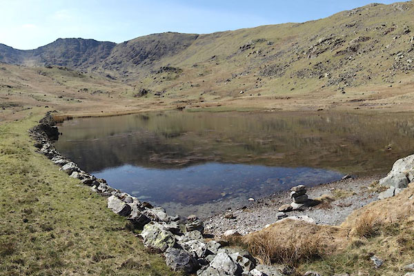 CCX96.jpg (taken 22.4.2015) |
||
|
|
||
| evidence:- | old map:- OS County Series (Lan 1) |
|
| source data:- | Maps, County Series maps of Great Britain, scales 6 and 25
inches to 1 mile, published by the Ordnance Survey, Southampton,
Hampshire, from about 1863 to 1948. area of "Peat Moss" |
|
|
|
||
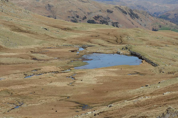 CCX94.jpg (taken 22.4.2015) 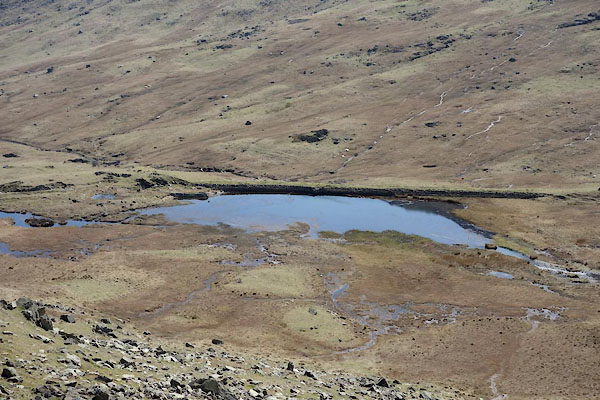 CCX95.jpg (taken 22.4.2015) 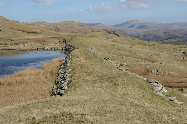 CCX97.jpg Dam. (taken 22.4.2015) 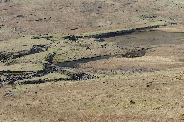 CCX98.jpg (taken 22.4.2015) 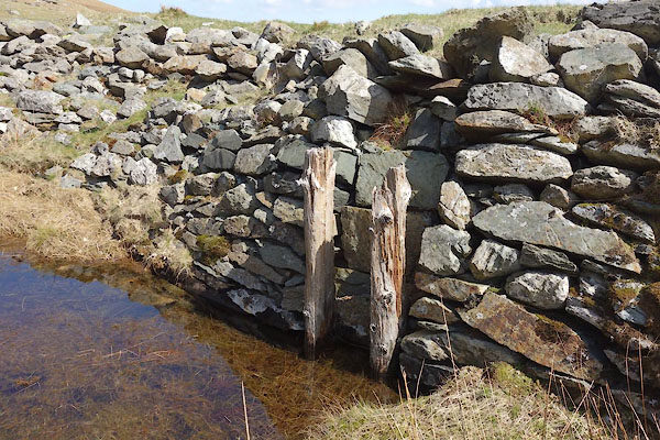 CCX99.jpg Remains of sluice. (taken 22.4.2015) 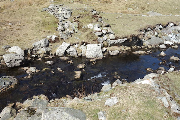 CCY01.jpg the beck now running through the NE dam. (taken 22.4.2015) 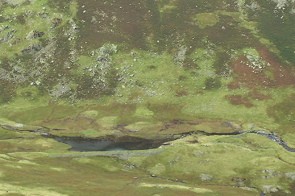 BOD10.jpg (taken 3.9.2007) 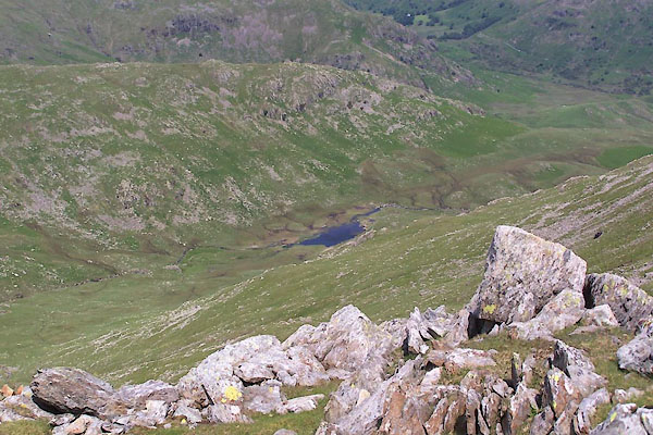 BWU59.jpg (taken 18.6.2012) |
||
|
|
||
Lakes Guides menu.