 Old Cumbria Gazetteer
 |
 |
|
| Victoria Inn, How | ||
| locality:- | How Mill | |
| locality:- | How | |
| civil parish:- | Hayton (formerly Cumberland) | |
| county:- | Cumbria | |
| locality type:- | inn | |
| coordinates:- | NY50965655 | |
| 1Km square:- | NY5056 | |
| 10Km square:- | NY55 | |
|
|
||
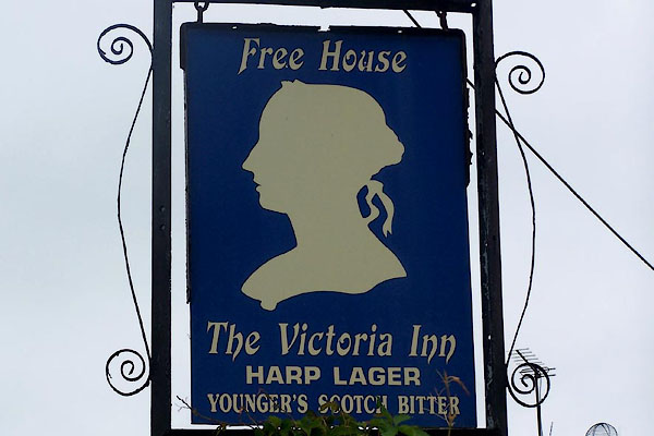 BOD50.jpg (taken 7.9.2007) 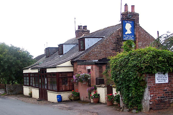 BOD49.jpg (taken 7.9.2007) |
||
|
|
||
| evidence:- | old map:- OS County Series (Cmd 24 4) |
|
| source data:- | Maps, County Series maps of Great Britain, scales 6 and 25
inches to 1 mile, published by the Ordnance Survey, Southampton,
Hampshire, from about 1863 to 1948. "B.H." |
|
|
|
||
 Lakes Guides menu.