Old Cumbria Gazetteer
 |
 |
|
||
| Whitecombe Beck | ||||
| runs into:- |  Whicham Beck Whicham Beck |
|||
|
|
||||
| civil parish:- | Whicham (formerly Cumberland) | |||
| county:- | Cumbria | |||
| locality type:- | river | |||
| 1Km square:- | SD1585 (etc) | |||
| 10Km square:- | SD18 | |||
|
|
||||
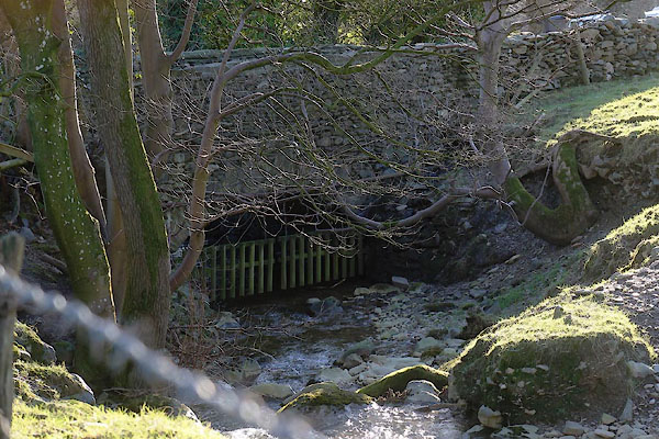
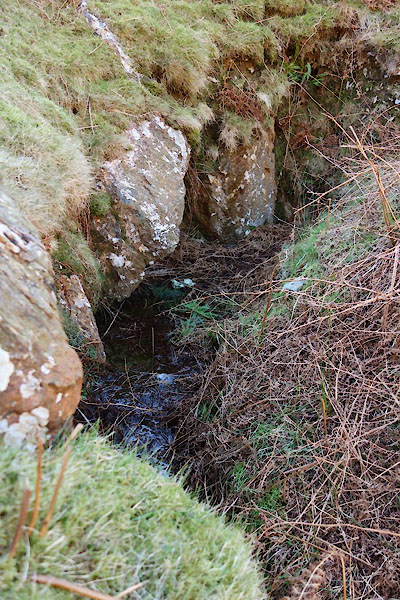
 BOF58.jpg (taken 1.10.2007) 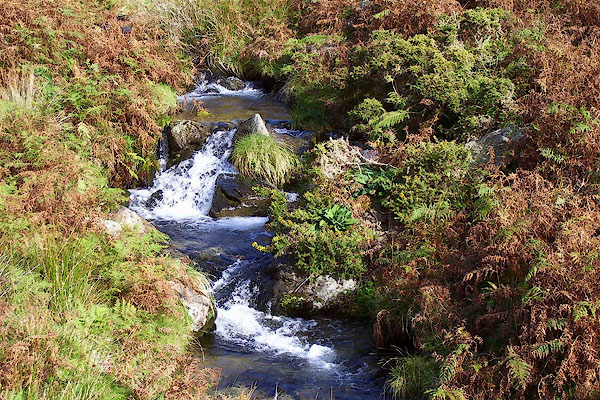 BOF59.jpg (taken 1.10.2007) |
||||
|
|
||||
| evidence:- | old map:- OS County Series (Cmd 88 1) placename:- Whitecombe Beck |
|||
| source data:- | Maps, County Series maps of Great Britain, scales 6 and 25
inches to 1 mile, published by the Ordnance Survey, Southampton,
Hampshire, from about 1863 to 1948. |
|||
|
|
||||
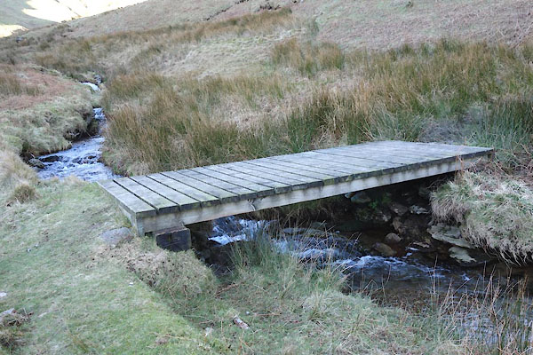
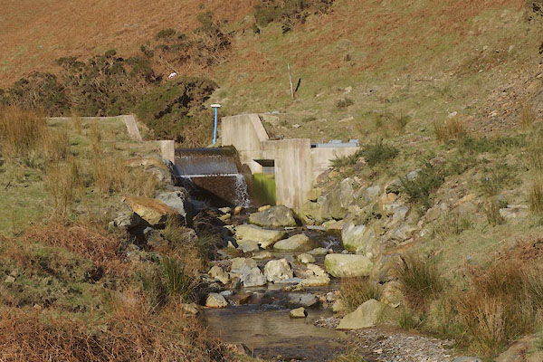
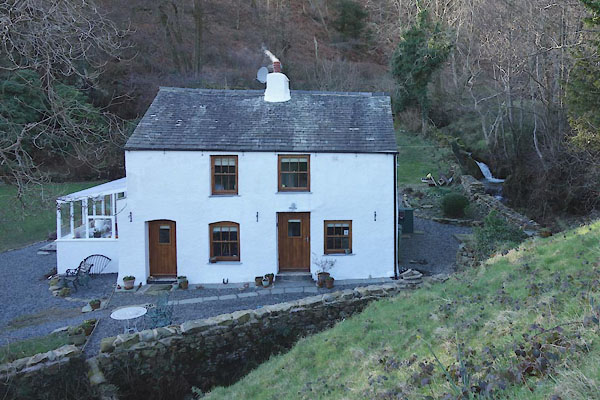
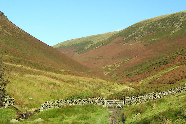
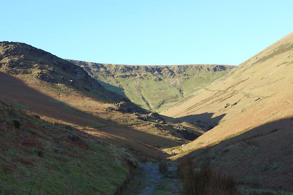 CEP80.jpg (taken 23.2.2016) 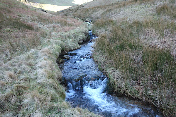 CEP82.jpg At Guinea bridge (taken 23.2.2016) 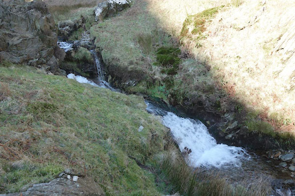 CEP83.jpg (taken 23.2.2016) 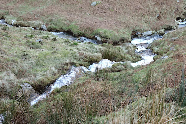 CEP85.jpg Meeting Blackcombe Beck (nearer), (taken 23.2.2016) 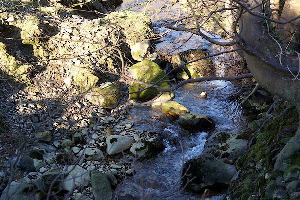 CEP49.jpg At the bridge by Beckside, (taken 23.2.2016) |
||||
|
|
||||
| places:- |
|
|||
|
||||
|
||||
|
||||
|
||||
Lakes Guides menu.