 Old Cumbria Gazetteer
 |
 |
|
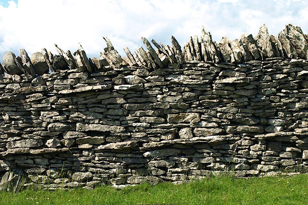
| stone wall, Hardendale | ||
| locality:- | Hardendale | |
| civil parish:- | Shap Rural (formerly Westmorland) | |
| county:- | Cumbria | |
| locality type:- | stone wall | |
| coordinates:- | NY58011429 | |
| 1Km square:- | NY5814 | |
| 10Km square:- | NY51 | |
| amateur | ||
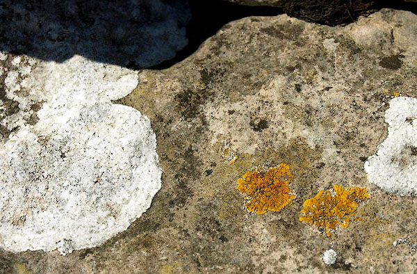
| stratigraphy:- | limestone | |
| stratigraphy:- | Carboniferous; Dinantian | |
|
|
||
 BPL18.jpg (taken 4.7.2007) 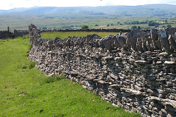 BPL19.jpg (taken 4.7.2007) |
||
|
|
||
 BPL20.jpg (taken 4.7.2007) |
||
|
|
||
 Lakes Guides menu.