 Old Cumbria Gazetteer
 |
 |
|
| Broughton Baptist Church, Great Broughton | ||
| Broughton Baptist Church | ||
| locality:- | Great Broughton | |
| civil parish:- | Broughton (formerly Cumberland) | |
| county:- | Cumbria | |
| locality type:- | baptist chapel | |
| locality type:- | chapel | |
| coordinates:- | NY08003157 | |
| 1Km square:- | NY0831 | |
| 10Km square:- | NY03 | |
|
|
||
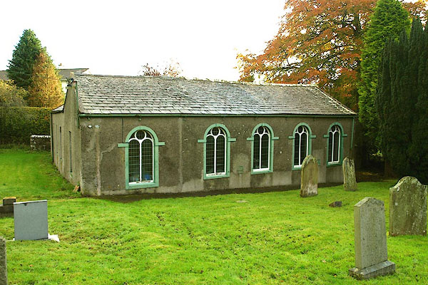 BPT36.jpg (taken 22.10.2008) |
||
|
|
||
| evidence:- | old map:- OS County Series (Cmd 54 2) |
|
| source data:- | Maps, County Series maps of Great Britain, scales 6 and 25
inches to 1 mile, published by the Ordnance Survey, Southampton,
Hampshire, from about 1863 to 1948. "Baptist Chapel (Endowed) / Grave Yard" |
|
|
|
||
| notes:- |
Established by a colonel of Oliver Cromwell's army, 1648, when his troops were stationed
here during the siege of Cockermouth Castle. |
|
|
|
||
 Lakes Guides menu.