 Old Cumbria Gazetteer
 |
 |
|
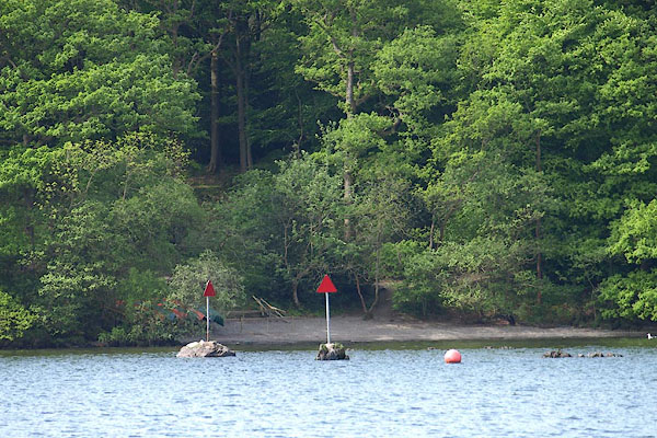
| Costrells Rocks, Windermere lake | ||
| Costrells Rocks | ||
| Costrell Rocks | ||
| site name:- | Windermere lake | |
| civil parish:- | Windermere (formerly Westmorland) | |
| county:- | Cumbria | |
| locality type:- | rocks | |
| coordinates:- | SD37808960 | |
| 1Km square:- | SD3789 | |
| 10Km square:- | SD38 | |
|
|
||
 BPD76.jpg (taken 12.5.2008) |
||
|
|
||
| evidence:- | old map:- OS County Series (Wmd 37 14) placename:- Costrell Rocks |
|
| source data:- | Maps, County Series maps of Great Britain, scales 6 and 25
inches to 1 mile, published by the Ordnance Survey, Southampton,
Hampshire, from about 1863 to 1948. |
|
|
|
||
 Lakes Guides menu.