 Old Cumbria Gazetteer
 |
 |
|
| Eel House Bridge, Satterthwaite | ||
| Eel House Bridge | ||
| site name:- | Cunsey Beck | |
| civil parish:- | Satterthwaite (formerly Lancashire) | |
| civil parish:- | Claife (formerly Lancashire) | |
| county:- | Cumbria | |
| locality type:- | bridge | |
| coordinates:- | SD36929408 | |
| 1Km square:- | SD3694 | |
| 10Km square:- | SD39 | |
|
|
||
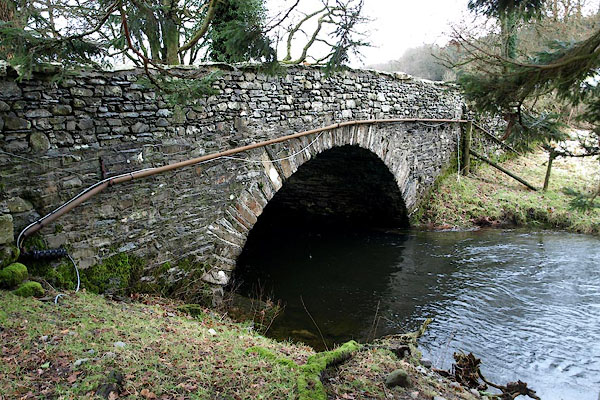 BPY44.jpg (taken 23.1.2009) 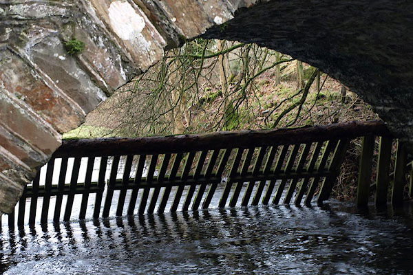 BPY45.jpg Water gate under the bridge. (taken 23.1.2009) |
||
|
|
||
| evidence:- | old map:- OS County Series (Lan 5 10) placename:- Eel House Bridge |
|
| source data:- | Maps, County Series maps of Great Britain, scales 6 and 25
inches to 1 mile, published by the Ordnance Survey, Southampton,
Hampshire, from about 1863 to 1948. |
|
|
|
||
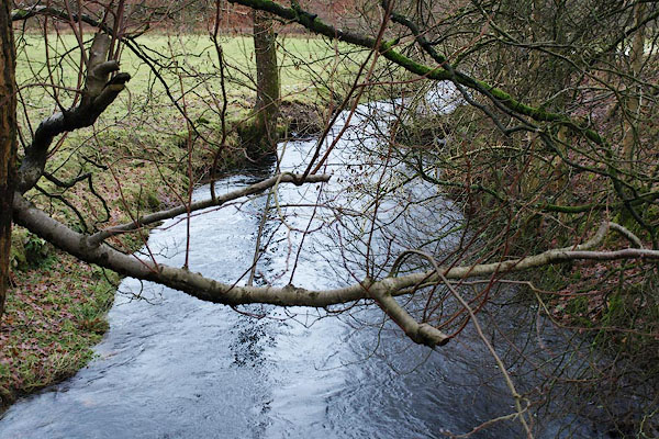 BPY46.jpg View of river. South from Eel Bridge. (taken 23.1.2009) |
||
|
|
||
 Lakes Guides menu.