 Old Cumbria Gazetteer
 |
 |
|
| Gallows Hill, Askerton | ||
| Gallows Hill | ||
| civil parish:- | Askerton (formerly Cumberland) | |
| county:- | Cumbria | |
| locality type:- | hill | |
| locality type:- | gallows (site?) | |
| coordinates:- | NY55336958 (etc) | |
| 1Km square:- | NY5569 | |
| 10Km square:- | NY56 | |
|
|
||
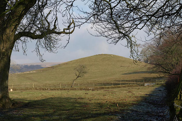 BSE32.jpg (taken 19.2.2010) |
||
|
|
||
| evidence:- | old map:- OS County Series (Cmd 12 2) placename:- Gallows Hill |
|
| source data:- | Maps, County Series maps of Great Britain, scales 6 and 25
inches to 1 mile, published by the Ordnance Survey, Southampton,
Hampshire, from about 1863 to 1948. |
|
|
|
||
 Lakes Guides menu.