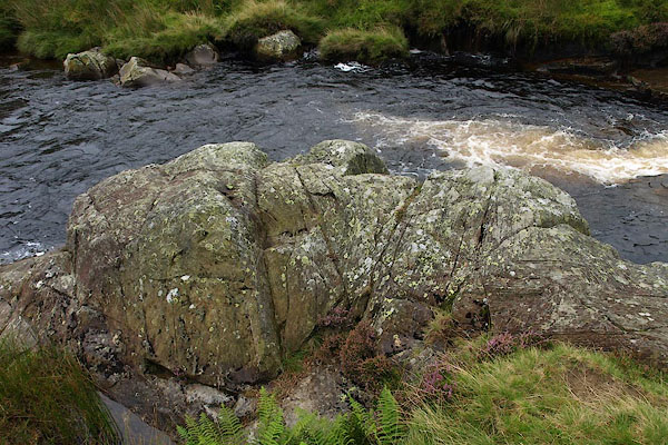


BPQ21.jpg (taken 24.8.2008)

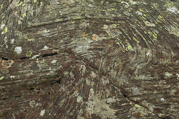
BPQ22.jpg Disharmonic folding,
caused by local pressures of an intrusion - the Carrock Fell gabbro.
(taken 24.8.2008)

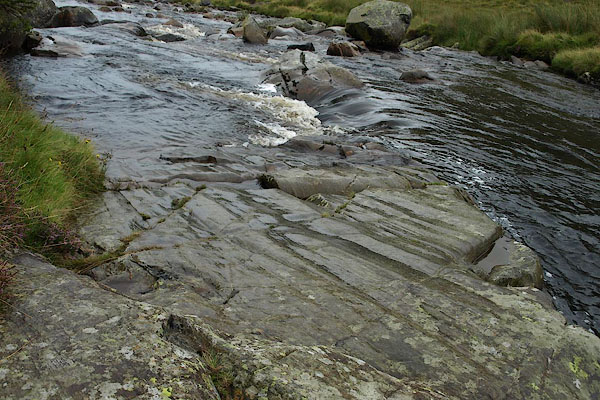
BPQ23.jpg Striations, at
on ice polishing, caused by glacial movement; these have been protected under peat and only 'recently' exposed.
(taken 24.8.2008)

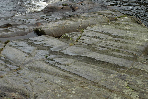
BPQ24.jpg Striations, at
on ice polishing, caused by glacial movement; these have been protected under peat and only 'recently' exposed.
(taken 24.8.2008)

 Lakes Guides menu.