 Old Cumbria Gazetteer
 |
 |
|
| landing stage, Coniston | ||
| site name:- | Coniston Water | |
| civil parish:- | Coniston (formerly Lancashire) | |
| county:- | Cumbria | |
| locality type:- | landing stage | |
| coordinates:- | SD304964 | |
| 1Km square:- | SD3096 | |
| 10Km square:- | SD39 | |
|
|
||
| evidence:- | perhaps old map:- Crosthwaite 1783-94 (Con) |
|
| source data:- | Map, uncoloured engraving, An Accurate Map of Coniston Lake,
scale about 3 inches to 1 mile, by Peter Crosthwaite, Keswick,
Cumberland, 1788, version published 1809.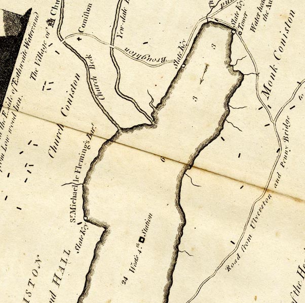 CTESD39D.jpg "Slate Key" ?jetty marked on lake, by Coniston Hall item:- JandMN : 182.5 Image © see bottom of page |
|
|
|
||
 Lakes Guides menu.