 Old Cumbria Gazetteer
 |
 |
|
| Sandwath Bridge, Sleagill | ||
| Sandwath Bridge | ||
| site name:- | Sandwath Beck | |
| locality:- | Sleagill | |
| civil parish:- | Sleagill (formerly Westmorland) | |
| civil parish:- | Newby (formerly Westmorland) | |
| county:- | Cumbria | |
| locality type:- | bridge | |
| coordinates:- | NY59052044 | |
| 1Km square:- | NY5920 | |
| 10Km square:- | NY52 | |
|
|
||
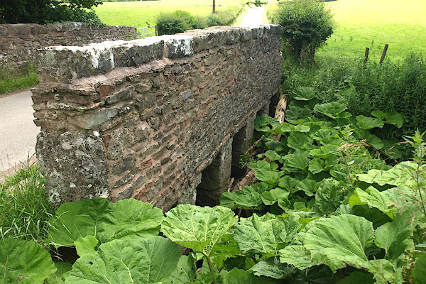 BPK88.jpg (taken 4.7.2008) |
||
|
|
||
| evidence:- | old map:- OS County Series (Wmd 8 15) placename:- Sandwath Bridge |
|
| source data:- | Maps, County Series maps of Great Britain, scales 6 and 25
inches to 1 mile, published by the Ordnance Survey, Southampton,
Hampshire, from about 1863 to 1948. |
|
|
|
||
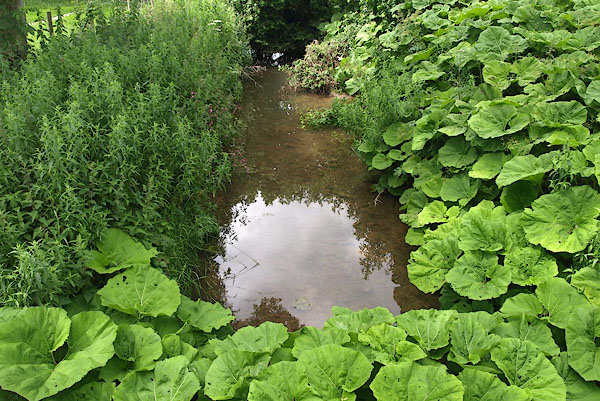 BPK89.jpg View of river. (taken 4.7.2008) |
||
|
|
||
 Lakes Guides menu.