 Old Cumbria Gazetteer
 |
 |
|
| railway depot, Westlinton | ||
| site name:- | Border Union Railway | |
| locality:- | Lyneside Station (near) | |
| civil parish:- | Westlinton (formerly Cumberland) | |
| county:- | Cumbria | |
| locality type:- | goods depot | |
| coordinates:- | NY38746459 | |
| 1Km square:- | NY3864 | |
| 10Km square:- | NY36 | |
|
|
||
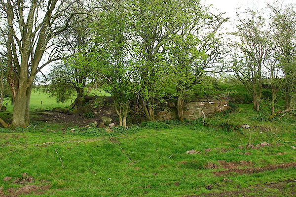 BQJ62.jpg ... some remains. (taken 11.4.2009) |
||
|
|
||
| evidence:- | old map:- OS County Series (Cmd 10) |
|
| source data:- | Maps, County Series maps of Great Britain, scales 6 and 25
inches to 1 mile, published by the Ordnance Survey, Southampton,
Hampshire, from about 1863 to 1948. "Coal &Lime Depot" |
|
|
|
||
 Lakes Guides menu.