 Old Cumbria Gazetteer
 |
 |
|
| Arnside Tower Farm, Arnside | ||
| Arnside Tower Farm | ||
| civil parish:- | Arnside (formerly Westmorland) | |
| county:- | Cumbria | |
| locality type:- | buildings | |
| coordinates:- | SD45837694 | |
| 1Km square:- | SD4576 | |
| 10Km square:- | SD47 | |
|
|
||
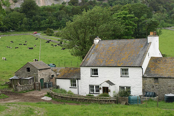 BQS76.jpg (taken 5.6.2009) 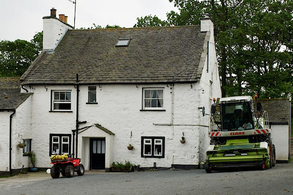 BQS77.jpg Parked neatly outside, one quad bike, one combine harvester. (taken 5.6.2009) |
||
|
|
||
| evidence:- | old map:- OS County Series (Wmd 46 14) placename:- Arnside Tower |
|
| source data:- | Maps, County Series maps of Great Britain, scales 6 and 25
inches to 1 mile, published by the Ordnance Survey, Southampton,
Hampshire, from about 1863 to 1948. |
|
|
|
||
 Lakes Guides menu.