 Old Cumbria Gazetteer
 |
 |
|
| Narrow Gate, Dufton | ||
| Narrow Gate | ||
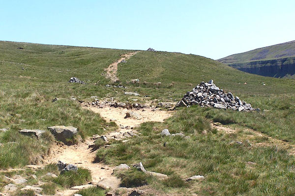
| site name:- | Pennine Way | |
| locality:- | High Cup | |
| civil parish:- | Dufton (formerly Westmorland) | |
| county:- | Cumbria | |
| locality type:- | track | |
| locality type:- | corpse road (once) | |
| coordinates:- | NY73602584 (etc) | |
| 1Km square:- | NY7325 | |
| 10Km square:- | NY72 | |
| locality:- | Dufton | |
| civil parish:- | Dufton (formerly Westmorland) | |
| county:- | Cumbria | |
| locality:- | Birkdale | |
| civil parish:- | Dufton (formerly Westmorland) | |
| county:- | Cumbria | |
|
|
||
 BQR88.jpg (taken 1.6.2009) 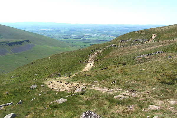 BQR89.jpg (taken 1.6.2009) |
||
|
|
||
| evidence:- | old map:- OS County Series (Wmd 10 1) placename:- Narrow Gate |
|
| source data:- | Maps, County Series maps of Great Britain, scales 6 and 25
inches to 1 mile, published by the Ordnance Survey, Southampton,
Hampshire, from about 1863 to 1948. |
|
|
|
||
 Lakes Guides menu.