 Old Cumbria Gazetteer
 |
 |
|
| pinfold, St Bees | ||
| Street:- | Pinfold Yard | |
| locality:- | Oldrigg | |
| locality:- | St Bees | |
| civil parish:- | St Bees (formerly Cumberland) | |
| county:- | Cumbria | |
| locality type:- | pinfold | |
| coordinates:- | NX97181161 (?) | |
| 1Km square:- | NX9711 | |
| 10Km square:- | NX91 | |
|
|
||
 BUK58.jpg (taken 27.4.2011) 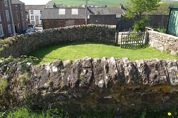 BUK59.jpg (taken 27.4.2011) |
||
|
|
||
| evidence:- | old map:- OS County Series (Cmd 72 2) |
|
| source data:- | Maps, County Series maps of Great Britain, scales 6 and 25
inches to 1 mile, published by the Ordnance Survey, Southampton,
Hampshire, from about 1863 to 1948. "Pinfold" |
|
|
|
||
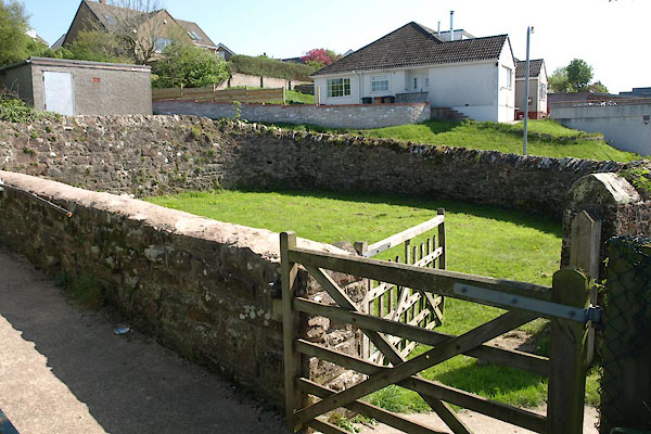
| hearsay:- |
On left of Outrigg just past a detached garage; semi circular. |
|
| Used as a car standing. |
||
| Dobbie, B M W: 1979: Pounds or Pinfolds and Lockups: Bath University Library (Bath,
Somerset):: ISBN 0 900843 34 9 |
||
|
|
||
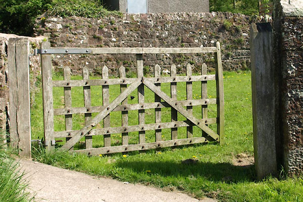 BUK60.jpg Gate; which might not be so old. (taken 27.4.2011) |
||
|
|
||
 Lakes Guides menu.