 Old Cumbria Gazetteer
 |
 |
|
| stone wall, Hellgill | ||
| locality:- | Hellgill | |
| locality:- | Mallerstang | |
| civil parish:- | Mallerstang (formerly Westmorland) | |
| county:- | Cumbria | |
| locality type:- | stone wall | |
| coordinates:- | SD78549678 | |
| 1Km square:- | SD7896 | |
| 10Km square:- | SD79 | |
| amateur | ||
| stratigraphy:- | mudstone | |
| stratigraphy:- | Carboniferous; Dinantian | |
|
|
||
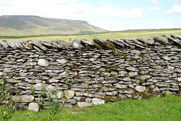 BRF96.jpg (taken 3.8.2009) 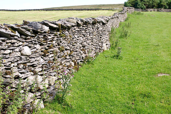 BRF97.jpg (taken 3.8.2009) |
||
|
|
||
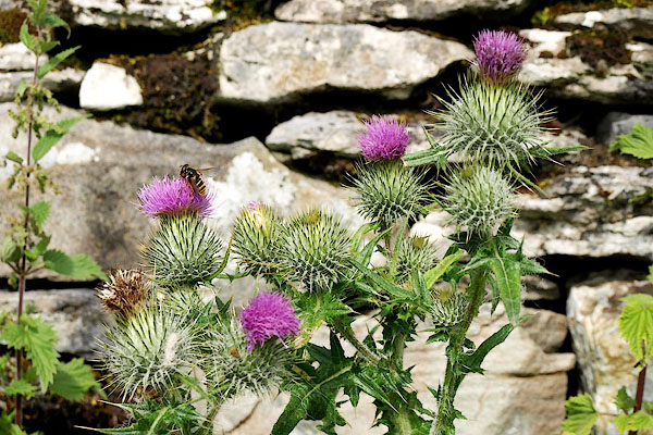 BRF98.jpg Thistle, Cirsium sp; and a wasp. (taken 3.8.2009) |
||
|
|
||
 Lakes Guides menu.