 Old Cumbria Gazetteer
 |
 |
|
| Bank Bridge, Crosby Ravensworth | ||
| Bank Bridge | ||
| site name:- | Lyvennet Beck | |
| locality:- | Crosby Ravensworth | |
| civil parish:- | Crosby Ravensworth (formerly Westmorland) | |
| county:- | Cumbria | |
| locality type:- | bridge | |
| locality type:- | ford (site) | |
| coordinates:- | NY62371476 | |
| 1Km square:- | NY6214 | |
| 10Km square:- | NY61 | |
|
|
||
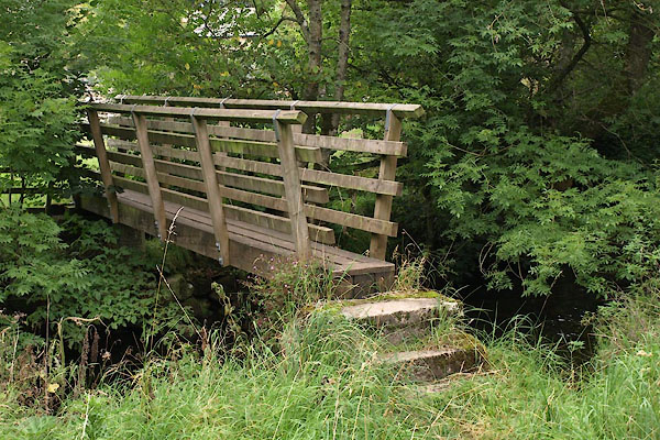 BVH88.jpg (taken 2.9.2011) |
||
|
|
||
| evidence:- | old map:- OS County Series (Wmd 14 16) placename:- Bank Bridge |
|
| source data:- | Maps, County Series maps of Great Britain, scales 6 and 25
inches to 1 mile, published by the Ordnance Survey, Southampton,
Hampshire, from about 1863 to 1948. |
|
|
|
||
| evidence:- | old map:- OS County Series (Wmd 14) placename:- Bank Bridge |
|
| source data:- | Maps, County Series maps of Great Britain, scales 6 and 25
inches to 1 mile, published by the Ordnance Survey, Southampton,
Hampshire, from about 1863 to 1948. "Ford / Bank Br." |
|
|
|
||
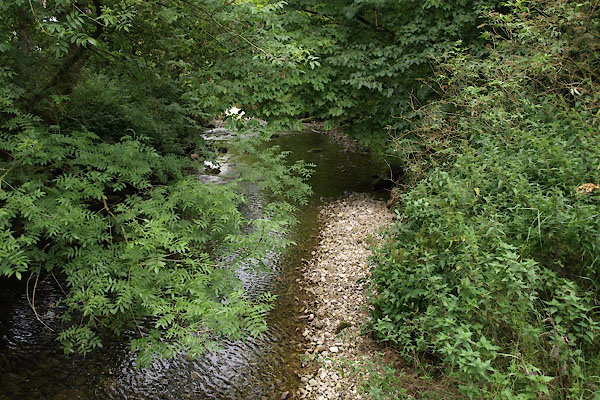 BVH94.jpg View of river. (taken 2.9.2011) |
||
|
|
||
 Lakes Guides menu.