 Old Cumbria Gazetteer
 |
 |
|
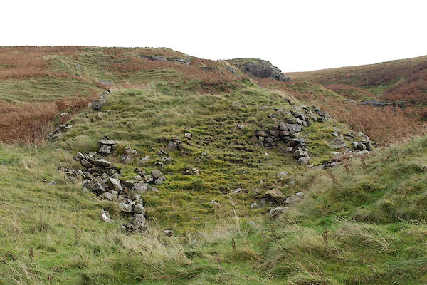
| Barbon Limekiln, Barbon | ||
| Barbon Limekiln | ||
| locality:- | Barbondale | |
| civil parish:- | Barbon (formerly Westmorland) | |
| county:- | Cumbria | |
| locality type:- | limekiln (remains) | |
| coordinates:- | SD66828454 | |
| 1Km square:- | SD6684 | |
| 10Km square:- | SD68 | |
|
|
||
 BRV67.jpg (taken 13.11.2009) 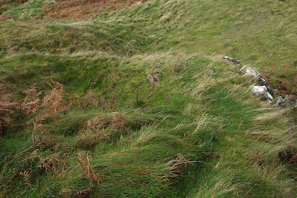 BRV68.jpg (taken 13.11.2009) |
||
|
|
||
| evidence:- | old map:- OS County Series (Wmd 44 10) placename:- Barbon Limekiln |
|
| source data:- | Maps, County Series maps of Great Britain, scales 6 and 25
inches to 1 mile, published by the Ordnance Survey, Southampton,
Hampshire, from about 1863 to 1948. "Barbon Limekiln" |
|
|
|
||
 Lakes Guides menu.