 Old Cumbria Gazetteer
 |
 |
|
| Boat Bridge, Witherslack | ||
| Boat Bridge | ||
| civil parish:- | Witherslack (formerly Westmorland) | |
| county:- | Cumbria | |
| locality type:- | bridge | |
| coordinates:- | SD44328271 | |
| 1Km square:- | SD4482 | |
| 10Km square:- | SD48 | |
|
|
||
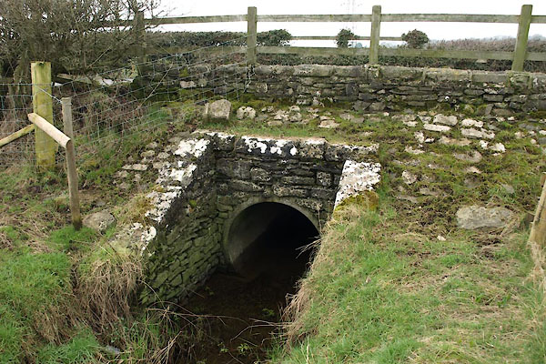 BUD24.jpg (taken 4.3.2011) 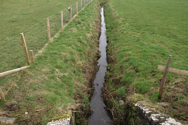 BUD25.jpg Drain at this bridge. (taken 4.3.2011) |
||
|
|
||
| evidence:- | old map:- OS County Series (Wmd 42 13) placename:- Boat Bridge |
|
| source data:- | Maps, County Series maps of Great Britain, scales 6 and 25
inches to 1 mile, published by the Ordnance Survey, Southampton,
Hampshire, from about 1863 to 1948. |
|
|
|
||
 Lakes Guides menu.