 Old Cumbria Gazetteer
 |
 |
|
|
| Boggle Thorn, Solport | |||
| gone? | |||
| Boggle Thorn | |||
| civil parish:- | Solport (formerly Cumberland) | ||
| county:- | Cumbria | ||
| locality type:- | tree | ||
| locality type:- | thorn | ||
| coordinates:- | NY48327255 | ||
| 1Km square:- | NY4872 | ||
| 10Km square:- | NY47 | ||
| references:- | OS County Series |
||
|
|
|||
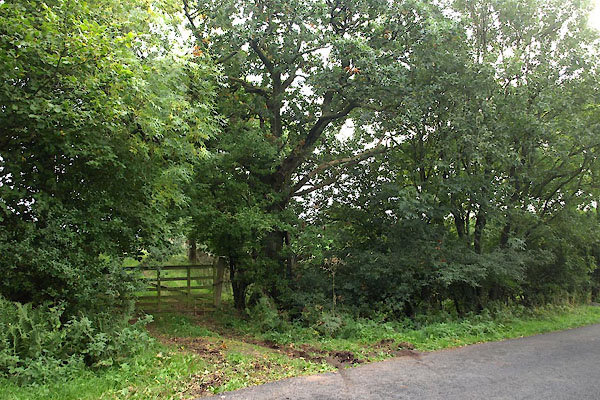 BZJ90.jpg Various trees. (taken 27.9.2013) |
|||
| Thre is no obvious single thorn. The large tree is an oak, others are thorn, ash,
etc. |
|||
|
|
|||
| evidence:- | old map:- OS County Series (Cmd 7 11) placename:- Boggle Thorn |
||
| source data:- | Maps, County Series maps of Great Britain, scales 6 and 25
inches to 1 mile, published by the Ordnance Survey, Southampton,
Hampshire, from about 1863 to 1948.
|
||
|
|
|||
| notes:- |
Thorn, Crataegus monogyna? |
||
|
|
|||
 Lakes Guides menu.