 Old Cumbria Gazetteer
 |
 |
|
| Castle Howe, Orton S | ||
| Castle Howe | ||
| locality:- | Greenholme | |
| civil parish:- | Orton S (formerly Westmorland) | |
| county:- | Cumbria | |
| locality type:- | motte and bailey (?) | |
| locality type:- | castle (site?) | |
| coordinates:- | NY60050530 (about) | |
| 1Km square:- | NY6005 | |
| 10Km square:- | NY60 | |
| references:- | Jackson 1990 |
|
|
|
||
| evidence:- | old map:- OS County Series (Wmd 28 7) placename:- Castle Howe |
|
| source data:- | Maps, County Series maps of Great Britain, scales 6 and 25
inches to 1 mile, published by the Ordnance Survey, Southampton,
Hampshire, from about 1863 to 1948. |
|
|
|
||
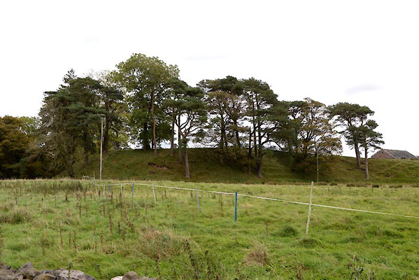 CGR01.jpg Hill labelled Castle Howe? (taken 6.10.2017) |
||
|
|
||
| notes:- |
possible motte and bailey |
|
| Perriam, D R &Robinson, J: 1998: Medieval Fortified Buildings of Cumbria: CWAAS::
ISBN 1 873124 23 6 |
||
|
|
||
 Lakes Guides menu.