 Old Cumbria Gazetteer
 |
 |
|
| Clowsgill Limeworks, Farlam | ||
| Clowsgill Limeworks | ||
| Clowsgill Quarries | ||
| locality:- | Clowsgill | |
| locality:- | Cleskett Beck | |
| civil parish:- | Farlam (formerly Cumberland) | |
| county:- | Cumbria | |
| locality type:- | limestone quarry | |
| locality type:- | quarry | |
| locality type:- | limekiln (etc) | |
| coordinates:- | NY58905907 (etc) | |
| 1Km square:- | NY5859 | |
| 10Km square:- | NY55 | |
|
|
||
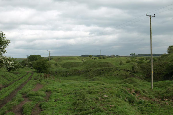 BUO78.jpg (taken 21.5.2011) 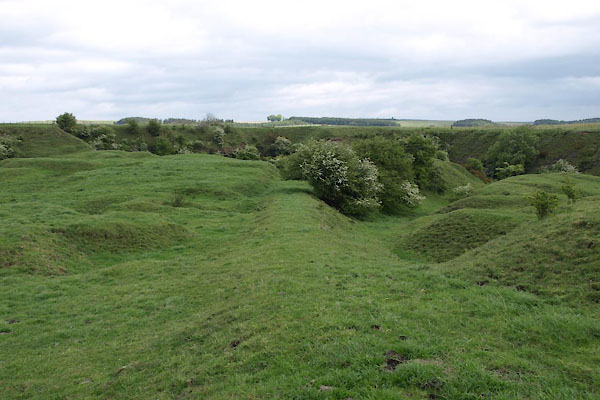 BUO80.jpg Tramroad S from site (taken 21.5.2011) |
||
|
|
||
| evidence:- | old map:- OS County Series (Cmd 18 11) placename:- Clowsgill Limeworks |
|
| source data:- | Maps, County Series maps of Great Britain, scales 6 and 25
inches to 1 mile, published by the Ordnance Survey, Southampton,
Hampshire, from about 1863 to 1948. "Clowsgill Limeworks / Quarry / Quarry / Limekilns / Limekilns/ Water Wheel / Inclined Plane" |
|
|
|
||
| evidence:- | old map:- Donald 1774 (Cmd) |
|
| source data:- | Map, hand coloured engraving, 3x2 sheets, The County of Cumberland, scale about 1
inch to 1 mile, by Thomas Donald, engraved and published by Joseph Hodskinson, 29
Arundel Street, Strand, London, 1774.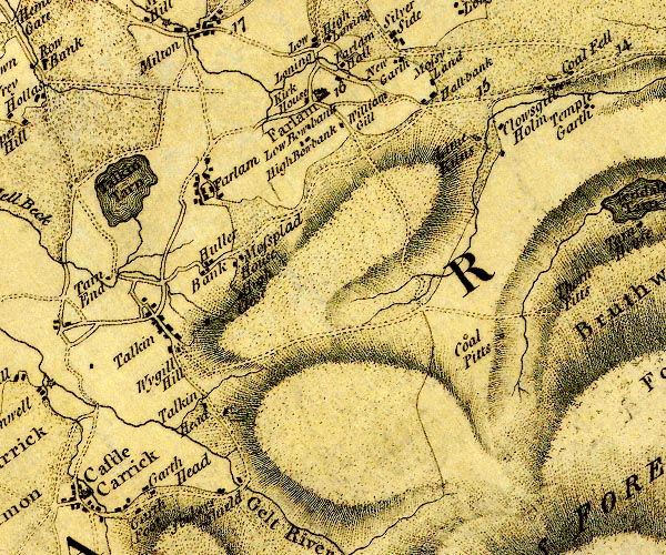 D4NY55NE.jpg "Lime Kilns" two circles; limekilns item:- Carlisle Library : Map 2 Image © Carlisle Library |
|
|
|
||
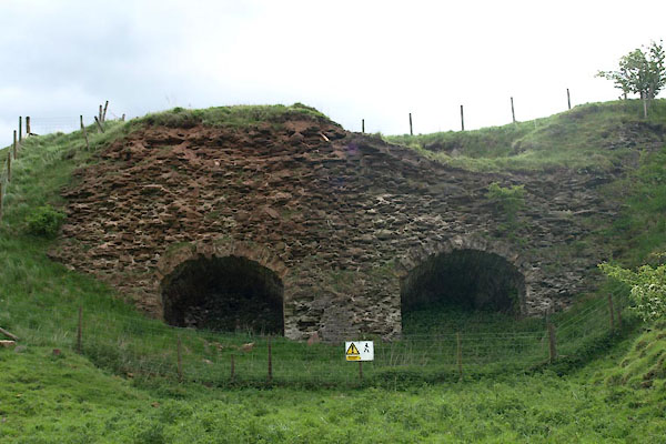 BUO73.jpg Limekilns. (taken 21.5.2011) 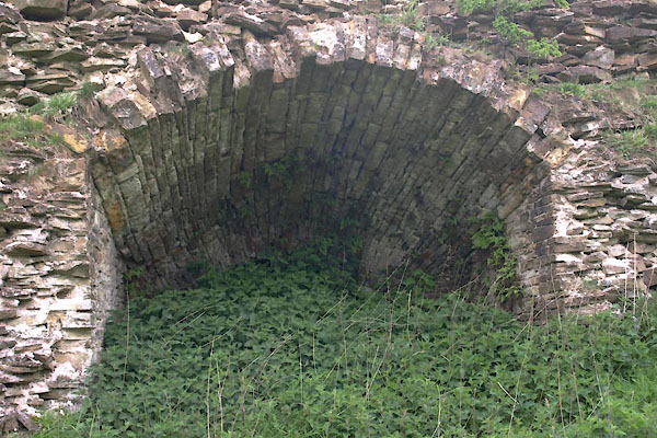 BUO74.jpg Limekilns. (taken 21.5.2011) 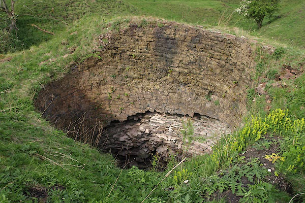 BUO75.jpg Limekilns. (taken 21.5.2011) 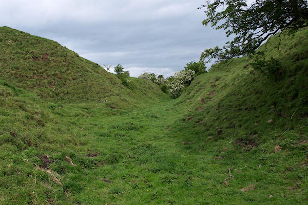 BUO76.jpg Tramroad from limekilns. (taken 21.5.2011) 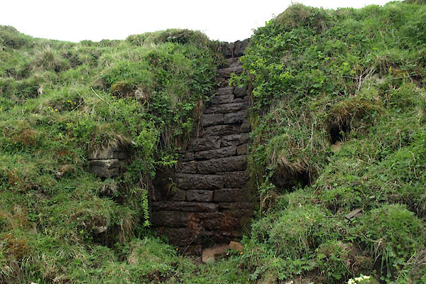 BUO79.jpg Possible site of water wheel? (taken 21.5.2011) 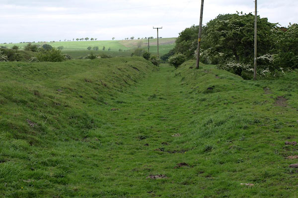 BUO77.jpg Tramroad N from site. (taken 21.5.2011) |
||
|
|
||
 Lakes Guides menu.