 Old Cumbria Gazetteer
 |
 |
|
| Ellers Bridge, Underbarrow and Lyth | ||
| Ellers Bridge | ||
| site name:- | Underbarrow Pool | |
| Street:- | Grigg Hall Lane | |
| locality:- | Grigghall | |
| civil parish:- | Underbarrow and Bradleyfield (formerly Westmorland) | |
| county:- | Cumbria | |
| locality type:- | bridge | |
| coordinates:- | SD46649148 | |
| 1Km square:- | SD4691 | |
| 10Km square:- | SD49 | |
|
|
||
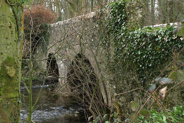 BWB80.jpg (taken 15.3.2012) |
||
|
|
||
| evidence:- | old map:- OS County Series (Wmd 38) placename:- Ellers Bridge |
|
| source data:- | Maps, County Series maps of Great Britain, scales 6 and 25
inches to 1 mile, published by the Ordnance Survey, Southampton,
Hampshire, from about 1863 to 1948. "Ellers Bridge" |
|
|
|
||
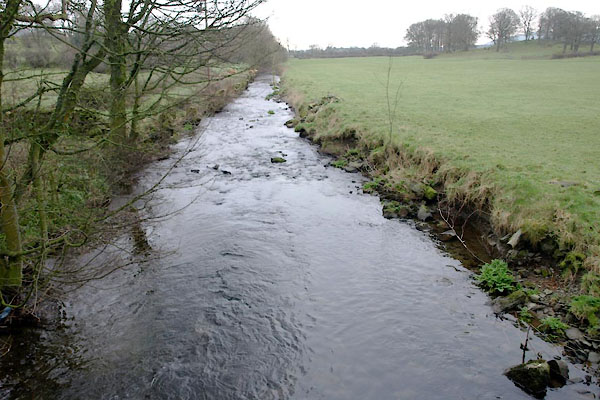 BWB81.jpg View of river. Below Ellers Bridge, (taken 15.3.2012) |
||
|
|
||
 Lakes Guides menu.