 Old Cumbria Gazetteer
 |
 |
|
| Gavelfell Fold, Lamplugh | ||
| Gavelfell Fold | ||
| civil parish:- | Lamplugh (formerly Cumberland) | |
| county:- | Cumbria | |
| locality type:- | sheepfold | |
| coordinates:- | NY10821805 | |
| 1Km square:- | NY1018 | |
| 10Km square:- | NY11 | |
| references:- | OS County Series |
|
|
|
||
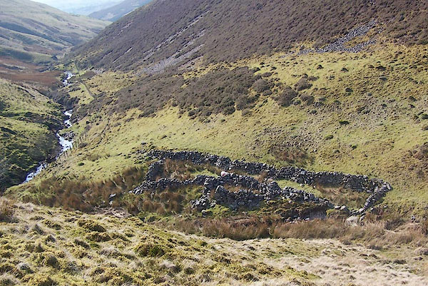 BQJ29.jpg (taken 1.4.2009) 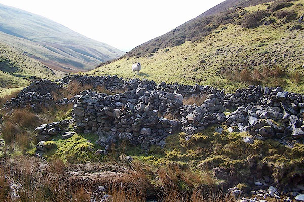 BQJ30.jpg (taken 1.4.2009) |
||
|
|
||
| evidence:- | old map:- OS County Series (Cmd 68 4) placename:- Gavelfell Fold |
|
| source data:- | Maps, County Series maps of Great Britain, scales 6 and 25
inches to 1 mile, published by the Ordnance Survey, Southampton,
Hampshire, from about 1863 to 1948. "Gavelfell Fold" |
|
|
|
||
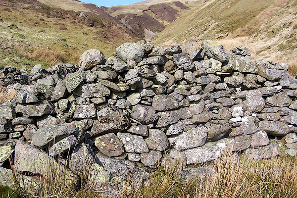 BQJ31.jpg (taken 1.4.2009) |
||
|
|
||
 Lakes Guides menu.