 Old Cumbria Gazetteer
 |
 |
|
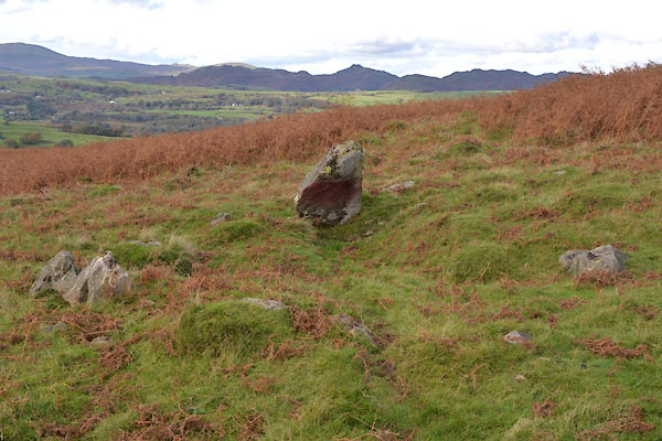
| Giant's Grave, Kirkby Ireleth | ||
| Giant's Grave | ||
| Giant's Grabe | ||
| civil parish:- | Kirkby Ireleth (formerly Lancashire) | |
| county:- | Cumbria | |
| locality type:- | grave (?) | |
| coordinates:- | SD25648795 (?) | |
| 1Km square:- | SD2587 | |
| 10Km square:- | SD28 | |
| SummaryText:- | The funny spelling comes from an OS map maker misreading an english black letter v, on an earlier OS map | |
|
|
||
 CGS99.jpg (taken 18.10.2017) 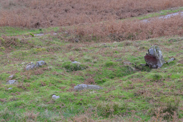 CGT03.jpg (taken 18.10.2017) |
||
|
|
||
| evidence:- | old map:- OS County Series (Lan 7 10) placename:- Giant's Grave |
|
| source data:- | Maps, County Series maps of Great Britain, scales 6 and 25
inches to 1 mile, published by the Ordnance Survey, Southampton,
Hampshire, from about 1863 to 1948. |
|
|
|
||
 Lakes Guides menu.