 Old Cumbria Gazetteer
 |
 |
|
| Ginners Beck Bridge, Cartmel Fell | ||
| Ginners Beck Bridge | ||
| site name:- | Ginners Beck | |
| civil parish:- | Cartmel Fell (formerly Lancashire) | |
| county:- | Cumbria | |
| locality type:- | bridge | |
| coordinates:- | SD40448905 | |
| 1Km square:- | SD4089 | |
| 10Km square:- | SD48 | |
|
|
||
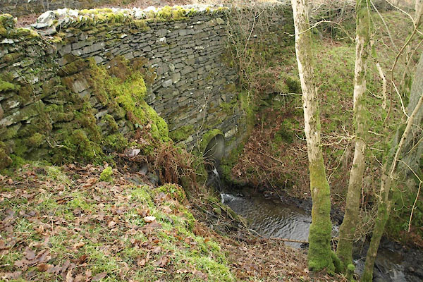 BXY19.jpg Now a culvert. (taken 8.3.2012) |
||
|
|
||
| evidence:- | old map:- OS County Series (Lan 8) placename:- Ginners Beck Bridge |
|
| source data:- | Maps, County Series maps of Great Britain, scales 6 and 25
inches to 1 mile, published by the Ordnance Survey, Southampton,
Hampshire, from about 1863 to 1948. "Ginners Beck Br." |
|
|
|
||
 Lakes Guides menu.