 Old Cumbria Gazetteer
 |
 |
|
| Howthwaite Stone, Caldbeck | ||
| Howthwaite Stone | ||
| locality:- | Howthwaite | |
| civil parish:- | Caldbeck (formerly Cumberland) | |
| county:- | Cumbria | |
| locality type:- | stone | |
| coordinates:- | NY34393553 | |
| 1Km square:- | NY3435 | |
| 10Km square:- | NY33 | |
| references:- | OS County Series |
|
|
|
||
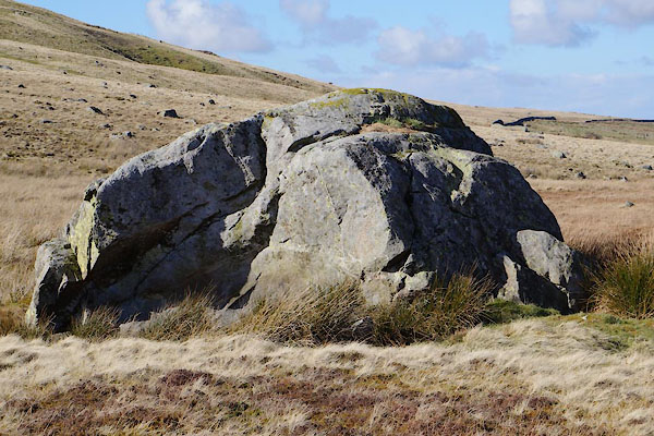 BZZ70.jpg (taken 3.3.2014) 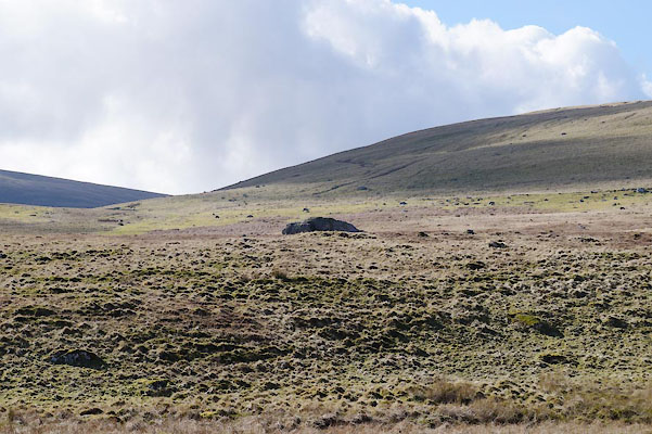 BZZ71.jpg (taken 3.3.2014) |
||
|
|
||
| evidence:- | old map:- OS County Series (Cmd 48 5) placename:- Howthwaite Stone |
|
| source data:- | Maps, County Series maps of Great Britain, scales 6 and 25
inches to 1 mile, published by the Ordnance Survey, Southampton,
Hampshire, from about 1863 to 1948. |
|
|
|
||
 Lakes Guides menu.