 Old Cumbria Gazetteer
 |
 |
|
| Intake Folds, Crosby Garrett | ||
| Intake Folds | ||
| civil parish:- | Crosby Garrett (formerly Westmorland) | |
| county:- | Cumbria | |
| locality type:- | sheepfold | |
| coordinates:- | NY71330687 | |
| 1Km square:- | NY7106 | |
| 10Km square:- | NY70 | |
| SummaryText:- | The area to E is called Intake. | |
| references:- | OS County Series |
|
|
|
||
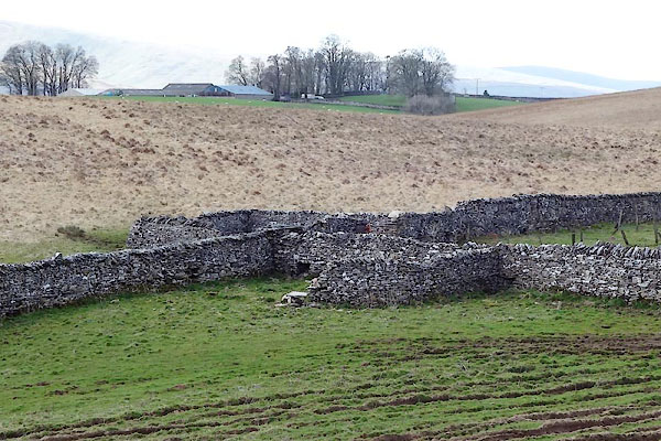 CAJ81.jpg (taken 14.4.2014) 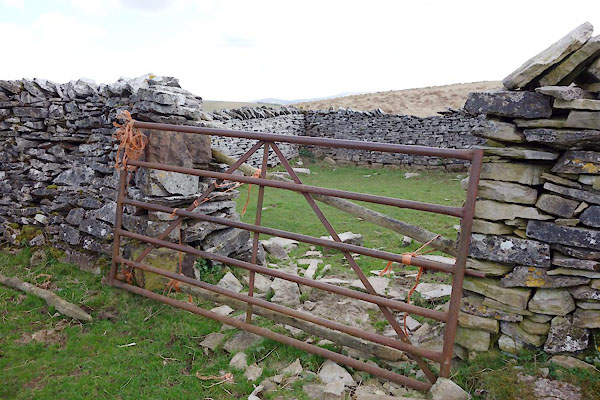 CAJ84.jpg (taken 14.4.2014) |
||
|
|
||
| evidence:- | old map:- OS County Series (Wmd 29) placename:- Intake Folds |
|
| source data:- | Maps, County Series maps of Great Britain, scales 6 and 25
inches to 1 mile, published by the Ordnance Survey, Southampton,
Hampshire, from about 1863 to 1948. "Intake Folds" |
|
|
|
||
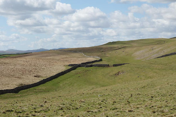 CAJ83.jpg (taken 14.4.2014) 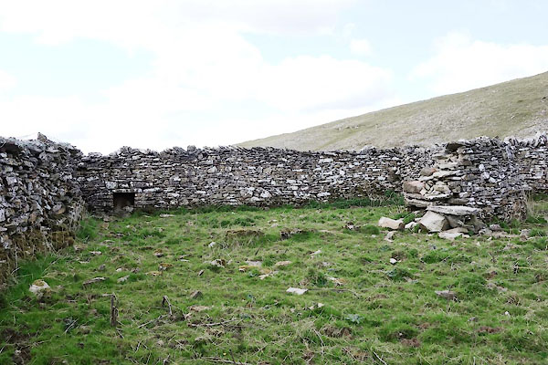 CAJ82.jpg (taken 14.4.2014) |
||
|
|
||
 Lakes Guides menu.