 Old Cumbria Gazetteer
 |
 |
|
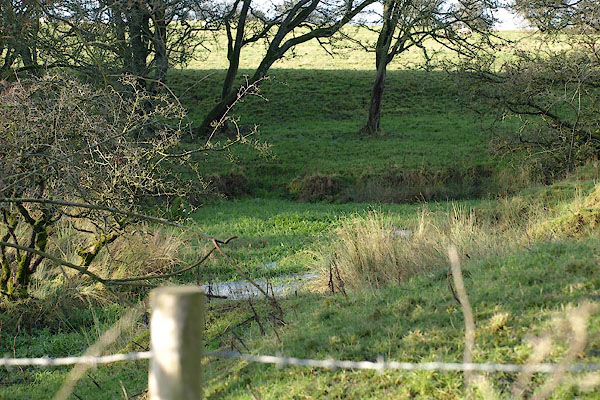
| Keld Head, Warcop | ||
| Keld Head | ||
| civil parish:- | Warcop (formerly Westmorland) | |
| county:- | Cumbria | |
| locality type:- | spring | |
| coordinates:- | NY72691285 | |
| 1Km square:- | NY7212 | |
| 10Km square:- | NY71 | |
|
|
||
 BRX36.jpg (taken 20.11.2009) 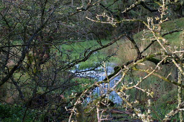 BRX37.jpg (taken 20.11.2009) |
||
|
|
||
| evidence:- | old map:- OS County Series placename:- Keld Head |
|
| source data:- | Maps, County Series maps of Great Britain, scales 6 and 25
inches to 1 mile, published by the Ordnance Survey, Southampton,
Hampshire, from about 1863 to 1948. "Keld Head / Old Quarry" |
|
|
|
||
 Lakes Guides menu.